Search the Special Collections and Archives Portal
Search Results
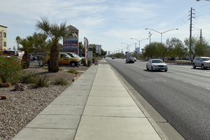
Traffic on West Sahara Avenue near Lindell Road, looking east, Las Vegas, Nevada: digital photograph
Date
2017-09-19
Archival Collection
Description
Traffic flows in front of commercial development on West Sahara Avenue near Lindell Road.
Image
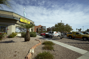
Statue of Libery replica at Liberty Lock and Key on West Sahara Avenue east of Lindell, looking north, Las Vegas, Nevada: digital photograph
Date
2017-09-19
Archival Collection
Description
A mini replica of the Statue of Liberty advertises a business on West Sahara Avenue east of Lindell Road.
Image
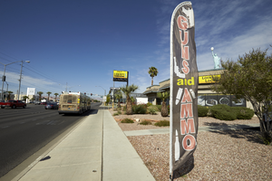
Gun and Ammo sign for business on West Sahara Avenue east of Lindell, looking west, Las Vegas, Nevada: digital photograph
Date
2017-09-19
Archival Collection
Description
A flag advertises a business on West Sahara Avenue east of Lindell Road.
Image
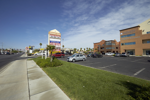
Grass landscaping on West Sahara Avenue east of Lindell Road, looking west, Las Vegas, Nevada: digital photograph
Date
2017-09-19
Archival Collection
Description
Although more rare in this section of West Sahara Avenue, grass is still used for some commercial developments.
Image
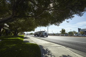
Gravel truck on West Sahara Avenue east of Lindell Road, looking east, Las Vegas, Nevada: digital photograph
Date
2017-09-19
Archival Collection
Description
A large truck runs on West Sahara Avenue east of Lindell Road.
Image
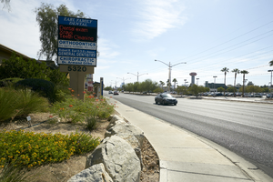
Commercial development at 5320 West Sahara Avenue, looking east, Las Vegas, Nevada: digital photograph
Date
2017-09-19
Archival Collection
Description
Traffic flows on West Sahara Avenue in front of commercial development at 5320 West Sahara Avenue.
Image
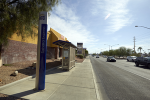
Bus stop on West Sahara Avenue at Mohawk Street, looking east, Las Vegas, Nevada: digital photograph
Date
2017-09-19
Archival Collection
Description
An RTC Sahara Express bus stop sits along West Sahara Avenue at Mohawk Street as cars pass.
Image
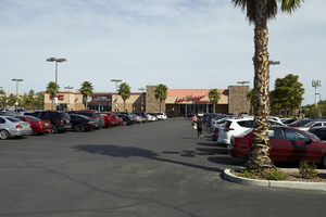
Las Vegas Athletic club at 5200 West Sahara Avenue, looking north, Las Vegas, Nevada: digital photograph
Date
2017-09-19
Archival Collection
Description
The Las Vegas Athletic Club at 5200 West Sahara Avenue west of South Edmond Street.
Image
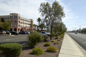
Clark County School District Administrative Building, looking east, Las Vegas, Nevada: digital photograph
Date
2017-09-19
Archival Collection
Description
The Clark County School District's Administrative Center at 5100 West Sahara Avenue near Decatur Boulevard.
Image

Clark County School District Administrative Building, looking north, Las Vegas, Nevada: digital photograph
Date
2017-09-19
Archival Collection
Description
The Clark County School District's Administrative Center at 5100 West Sahara Avenue near Decatur Boulevard.
Image
Pagination
Refine my results
Content Type
Creator or Contributor
Subject
Archival Collection
Digital Project
Resource Type
Year
Material Type
Place
Language
Records Classification
