Search the Special Collections and Archives Portal
Search Results
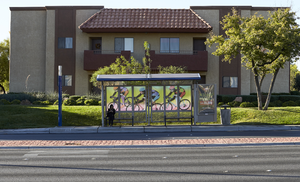
Bus stop and apartment building on West Sahara Avenue west of Fort Apache Road, looking south, Las Vegas, Nevada: digital photograph
Date
2017-10-10
Archival Collection
Description
An RTC Sahara Express bus stop sits in front of a Summerhill Pointe Apartment building on West Sahara Avenue west of Fort Apache Road.
Image
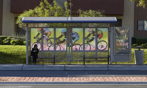
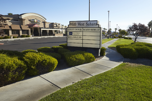
A commercial property on West Sahara Avenue west of Fort Apache Road, looking northeast, Las Vegas, Nevada: digital photograph
Date
2017-10-10
Archival Collection
Description
A commercial development at 9510 West Sahara Avenue west of Fort Apache Road.
Image
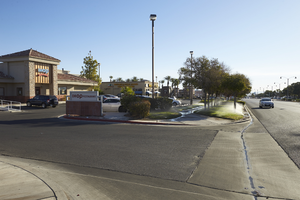
Businesses along West Sahara Avenue west of Fort Apache Road, looking northeast, Las Vegas, Nevada: digital photograph
Date
2017-10-10
Archival Collection
Description
A commercial development sits along West Sahara Avenue west of Fort Apache Road.
Image
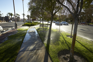
Landscape watering along West Sahara Avenue west of Fort Apache Road, looking east, Las Vegas, Nevada: digital photograph
Date
2017-10-10
Archival Collection
Description
Sprinklers water landscaping in front of a commercial development along West Sahara Avenue west of Fort Apache Road.
Image
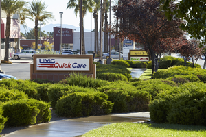
Singage and landscaping at the Village Square shopping center, looking east, Las Vegas, Nevada: digital photograph
Date
2017-10-10
Archival Collection
Description
Signage mixes in with landscaping at the Village Square commercial center on the northwest corner of West Sahara Avenue and Fort Apache Road.
Image
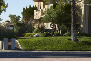
Woman walking dog on West Sahara Avenue near Fort Apache Road, looking north, Las Vegas, Nevada: digital photograph
Date
2017-10-10
Archival Collection
Description
A woman walks her dog at the Summerhill Pointe Apartments along West Sahara Avenue near Fort Apache Road.
Image
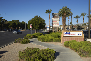
Singage and landscaping at the Village Square shopping center, looking west, Las Vegas, Nevada: digital photograph
Date
2017-10-10
Archival Collection
Description
Signage mixes in with landscaping at the Village Square commercial center on the northwest corner of West Sahara Avenue and Fort Apache Road.
Image
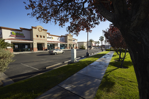
Commercial building along West Sahara Avenue near Fort Apache Road, looking northeast, Las Vegas, Nevada: digital photograph
Date
2017-10-10
Archival Collection
Description
A commercial building at the Village Square shopping center on the northwest corner of West Sahara Avenue and Fort Apache Road.
Image
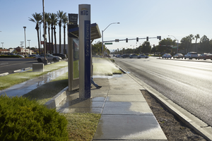
Bus stop and landscaping along West Sahara Avenue at Fort Apache Road, looking east, Las Vegas, Nevada: digital photograph
Date
2017-10-10
Archival Collection
Description
An RTC Sahara Express bus stop sits in the landscaping area maintained by the Village Square commercial center on the northwest corner of West Sahara Avenue and Fort Apache Road
Image
Pagination
Refine my results
Content Type
Creator or Contributor
Subject
Archival Collection
Digital Project
Resource Type
Year
Material Type
Place
Language
Records Classification
