Search Results

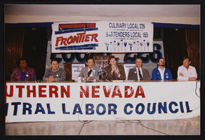
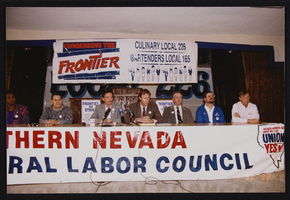
Las Vegas to Los Angeles, Frontier Strike press conference, Culinary Union, 1992 January 30 (folder 1 of 1), image 16
Date
1992-01-30
Description
Arrangement note: Series II. Public Events
Image
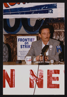
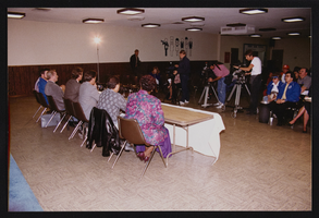
Las Vegas to Los Angeles, Frontier Strike press conference, Culinary Union, 1992 January 30 (folder 1 of 1), image 17
Date
1992-01-30
Description
Arrangement note: Series II. Public Events
Image
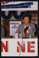
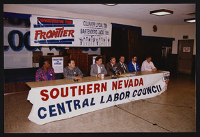
Las Vegas to Los Angeles, Frontier Strike press conference, Culinary Union, 1992 January 30 (folder 1 of 1), image 18
Date
1992-01-30
Description
Arrangement note: Series II. Public Events
Image
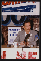
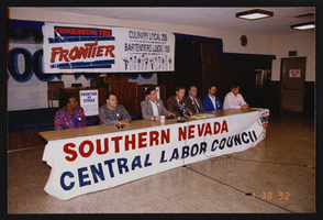
Las Vegas to Los Angeles, Frontier Strike press conference, Culinary Union, 1992 January 30 (folder 1 of 1), image 19
Date
1992-01-30
Description
Arrangement note: Series II. Public Events
Image
Las Vegas to Los Angeles, Frontier Strike press conference, Culinary Union, 1992 January 30 (folder 1 of 1), image 20
Date
1992-01-30
Description
Arrangement note: Series II. Public Events
Image
Las Vegas to Los Angeles, Frontier Strike press conference, Culinary Union, 1992 January 30 (folder 1 of 1), image 21
Date
1992-01-30
Description
Arrangement note: Series II. Public Events
Image
Las Vegas to Los Angeles, Frontier Strike press conference, Culinary Union, 1992 January 30 (folder 1 of 1), image 22
Date
1992-01-30
Description
Arrangement note: Series II. Public Events
Image
Las Vegas to Los Angeles, Frontier Strike press conference, Culinary Union, 1992 January 30 (folder 1 of 1), image 23
Date
1992-01-30
Description
Arrangement note: Series II. Public Events
Image
Las Vegas to Los Angeles, Frontier Strike press conference, Culinary Union, 1992 January 30 (folder 1 of 1), image 24
Date
1992-01-30
Description
Arrangement note: Series II. Public Events
Image

Las Vegas to Los Angeles, Frontier Strike press conference, Culinary Union, 1992 January 30 (folder 1 of 1), image 25
Date
1992-01-30
Description
Arrangement note: Series II. Public Events
Image