Search Results
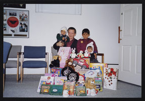
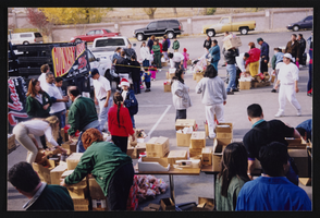
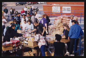
INS toy and food drive for Frontier children, Culinary Union, Las Vegas (Nev.), 1998 (folder 1 of 4), image 13
Date
1998
Description
Arrangement note: Series II. Public Events
Image
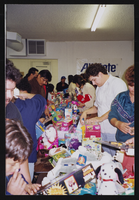
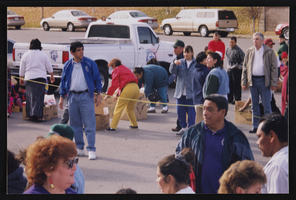
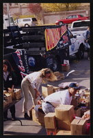
INS toy and food drive for Frontier children, Culinary Union, Las Vegas (Nev.), 1998 (folder 1 of 4), image 14
Date
1998
Description
Arrangement note: Series II. Public Events
Image
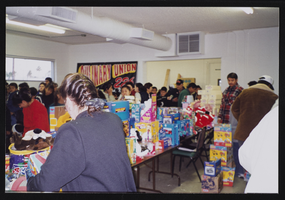
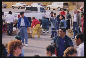
INS toy and food drive for Frontier children, Culinary Union, Las Vegas (Nev.), 1998 (folder 1 of 4), image 15
Date
1998
Description
Arrangement note: Series II. Public Events
Image
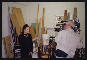
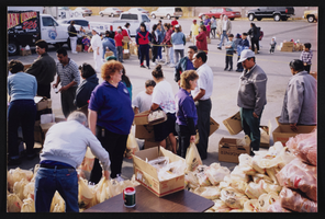
INS toy and food drive for Frontier children, Culinary Union, Las Vegas (Nev.), 1998 (folder 1 of 4), image 16
Date
1998
Description
Arrangement note: Series II. Public Events
Image
INS toy and food drive for Frontier children, Culinary Union, Las Vegas (Nev.), 1998 (folder 1 of 4), image 17
Date
1998
Description
Arrangement note: Series II. Public Events
Image
INS toy and food drive for Frontier children, Culinary Union, Las Vegas (Nev.), 1998 (folder 1 of 4), image 18
Date
1998
Description
Arrangement note: Series II. Public Events
Image
INS toy and food drive for Frontier children, Culinary Union, Las Vegas (Nev.), 1998 (folder 1 of 4), image 19
Date
1998
Description
Arrangement note: Series II. Public Events
Image
INS toy and food drive for Frontier children, Culinary Union, Las Vegas (Nev.), 1998 (folder 1 of 4), image 20
Date
1998
Description
Arrangement note: Series II. Public Events
Image
INS toy and food drive for Frontier children, Culinary Union, Las Vegas (Nev.), 1998 (folder 1 of 4), image 21
Date
1998
Description
Arrangement note: Series II. Public Events
Image
INS toy and food drive for Frontier children, Culinary Union, Las Vegas (Nev.), 1998 (folder 1 of 4), image 22
Date
1998
Description
Arrangement note: Series II. Public Events
Image