Search the Special Collections and Archives Portal
Search Results
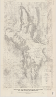
Map of the Las Vegas ground-water basin, Clark, Nye, and Lincoln Counties, Nevada, 1965
Date
1965
Description
At top of map: 'United States Department of the Interior, Geological Survey. Water-supply paper 1780, plate 1.' At bottom of map: 'Base from Army Map Service sheets NJ 11-9, NJ 11-12, and NI 11-3 (1947).' 'Boundary between bedrock and alluvium in Clark County, Nev., compiled by Ben Boyer, E. H. Pampeyan and C. R. Longwell. In Lincoln and Nye Counties, contact determined from aerial photographs.' 'Interior--Geological Survey, Washington, D.C.--1965--W63358.' Includes township and range lines.Relief shown by contours. Thematic map. Scale 1:250,000 (W 116°--W 114°45´/N 37°00´--N 35°30´). Series: Water-supply paper (Washington, D.C.), 1780. Originally published as plate 1 of Available water supply of the Las Vegas ground-water basin, Nevada, by Glenn T. Malmberg, published by the Geological Survey in 1965 as its Water-supply paper 1780.
Image
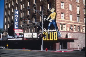
Slide of Nevada Club, Ely, Nevada, 1986
Date
1986
Archival Collection
Description
An image of the exterior of the Nevada Club and Hotel Nevada in Ely. Mounted onto the brick building and hanging over the club's entrance is a large sign of a miner with a pickaxe. Various neon signs read: "Welcome, 21 Slots & Food, Dancing;" "Hotel Nevada;" "Free Parking;" and "Nevada Club."
Image
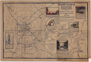
Map of Boulder Dam area and Las Vegas, Nevada, October 7, 1930
Date
1930-10-07
Description
'F.V. Owen, publisher ... Los Angeles, California. Topography by C.H. Fenner, C.E. Decorations by L.J. Bergère. Gov't. data, H.A. Shamberger, C.E. Copyright, 1930, by F.V. Owen.' At bottom right of map: 'Dated Oct. 7th, 1930.' Relief shown by contours and spot heights. Contour lines are 100 feet. Incudes six hand-colored illustrations showing local points of interest. Includes information on Hoover Dam, and chart of mileages from Las Vegas. Scale [ca. 1:63,360]. 1 inch to 1 mile
Text
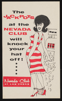
Nevada Club: postcards
Date
1950
Archival Collection
Description
Humorous postcards advertising the Nevada Club, downtown Las Vegas. (1950)
Image
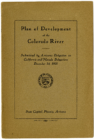
Proposal submitted to the delegates representing the States of California and Nevada in reference to the development of the Colorado River
Date
1925
Description
Proposal submitted to the delegates representing the States of California and Nevada in reference to the development of the Colorado River
Text
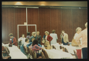
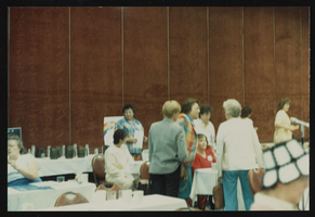
Nevada Nurses Association conference in Las Vegas, Nevada: photographic print
Date
1960 (year approximate) to 1990 (year approximate)
Archival Collection
Description
From the Nevada Nurses Association Photograph Collection (PH-00274) -- Meeting of Nevada Nurses Association, Sahara Hotel, Las Vegas, n.d.
Image
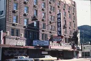
Slide of Nevada Club, Ely, Nevada, 1986
Date
1986
Archival Collection
Description
An image of the Hotel Nevada and Nevada Club in Ely. Various neon signs hanging off of the brick building read: "Coffee Shop;" "Cafe;" "Welcome, 21 Slots & Food, Dancing;" "Hotel Nevada, Free Parking."
Image
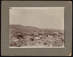
Town of Searchlight, Nevada: photographic print
Date
1900 to 1940
Archival Collection
Description
Town picture of Searchlight, Nevada.
Image

Blair, Nevada: photographic print
Date
1908
Archival Collection
Description
Photograph of Blair, Nevada in 1908.
Image
Pagination
Refine my results
Content Type
Creator or Contributor
Subject
Archival Collection
Digital Project
Resource Type
Year
Material Type
Place
Language
Records Classification
