Search the Special Collections and Archives Portal
Search Results

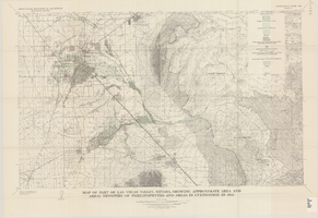
Map of part of Las Vegas Valley, Nevada, showing approximate area and areal densities of phreatophytes and areas in cultivation in 1912
Date
Description
Image

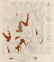
Hydrogeologic map of Nevada Test Site and vicinity, southern Nevada, 1965
Date
Description
Image

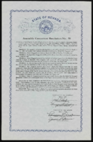
State of Nevada Assembly Concurrent Resolution No. 78
Date
Archival Collection
Description
From the Mabel Hoggard Papers (MS-00565) -- Personal papers file. Resolution expressing condolences about the death of Mabel Hoggard, and listing her accomplishments. State of Nevada Assembly Concurrent Resolution No. 78, adopted by the Assembly June 6, 1989; adopted by the Senate June 7, 1989
Text
Hotel Nevada Guest Register
Identifier
Abstract
The Hotel Nevada Guest Register (1910-1911) consists of one register from the Hotel Nevada, which opened on the southeast corner of Main Street and Fremont Street in Las Vegas, Nevada in 1906. This particular volume lists guest names and their home citieslocated on the corner of Fremont and Main Streets.
Archival Collection
T-Shirt Color: White; Front: Santa Barbara Air Attack Base, Fighter Jets; Back: Santa Barbara Air Attack Base 40 Years Of Suppressing Wild Fires, Air Plane, approximately 2001-2012
Level of Description
Archival Collection
Collection Name: New York-New York Hotel and Casino 9-11 Heroes Tribute Collection
Box/Folder: Box 254
Archival Component
T-Shirt Color: White; Front: Tulsa Local 176 IAFF, Local Union Emblem; Back: IAFF Local 176 Tulsa Fire Est. 1919 Excellent Service For Over 80 Years, approximately 2001-2012
Level of Description
Archival Collection
Collection Name: New York-New York Hotel and Casino 9-11 Heroes Tribute Collection
Box/Folder: Box 193
Archival Component
Photographs of Ground Zero, One year anniversary, NYNY Casino photographer: Ron Koch and a Memorandum containing photocopies of publication with the photos of the firefighters that died at the World Trade Center, 2002 September 11 and 2002 December 03
Level of Description
Archival Collection
Collection Name: New York-New York Hotel and Casino 9-11 Heroes Tribute Collection
Box/Folder: Oversized Box 478
Archival Component
Water Supply Forecasts for the Western United States 1961-62 Water Year. Including forecasts prepared by: U.S. Department of Commerce Weather Bureau and State of California Department of Water Resources, Vol 14 No. 4, 1962 April
Level of Description
Archival Collection
Collection Name: Howard Cannon Papers
Box/Folder: Box 37 (87th Session)
Archival Component
Neon in Nevada Photograph Collection
Identifier
Abstract
The Neon in Nevada Photograph Collection contains black-and-white and color photographic slides of neon signs from cities and towns in Nevada dating from 1913 to 1989. The collection includes slides from Las Vegas, Reno, Boulder City, Laughlin, Henderson, Lovelock, Winnemucca, Elko, Wells, McGill, Ely, Eureka, Austin, Hawthorne, and Carson City. The collection also includes slides from the Young Electric Sign Company (YESCO) that depict the "sign graveyard" in Las Vegas, Nevada of broken and retired neon signs.
Archival Collection

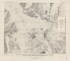
Map of part of Las Vegas Valley, Nevada, showing changes in the piezometric surface between February 1944 and February 1956
Date
Description
Image
