Search the Special Collections and Archives Portal
Search Results

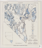
Tectonic map of Clark County, Nevada, 1965
Date
Description
62.
Image
Nevada Mining Photograph Collection
Identifier
Abstract
The Nevada Mining Photograph Collection depicts mining activities, miners, and mining towns in Nevada from 1868 to 1937. The photographs primarily depict the towns of Tonopah, Nevada and Goldfield, Nevada, including mills, buildings, mine shafts, and panoramic views of the landscape. The photographs also depict Beatty, Lost City, Delamar, Candelaria, Winnemucca, Virginia City, Rhyolite, Elko, and Reno, Nevada. The photographs also include portraits of early settlers in Nevada, Native Americans, children, parades, celebrations, and funerals.
Archival Collection
University of Nevada, Las Vegas Faculty Publications
Identifier
Abstract
The University of Nevada, Las Vegas (UNLV) Faculty Publications (1950-2008) is comprised of reports, scholarly journal articles, and books that were written by UNLV faculty and staff. Publications also include book reviews and conference presentations. Subjects include biology, chemistry, English, and sociology.
Archival Collection

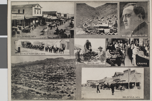
Postcard of scenes of Goldfield, Nevada and Gold Hill, Nevada, circa 1910s
Date
Archival Collection
Description
Image
Southern Nevada Gem and Mineral Society Records
Identifier
Abstract
The Southern Nevada Gem and Mineral Society Records (1950-2024) contain the records of the Clark County Gem Collectors, Las Vegas Gem Collectors, and the current Southern Nevada Gem and Mineral Society. The collection contains articles of incorporation, by-laws, membership directories, meeting minutes, correspondence, financial records, show paperwork, and award certificates. Also included are photographs of the organizations since the 1970s and digital scans of Gem Times and The Polished Slab newsletters.
Archival Collection
Japanese in Nevada
Level of Description
Archival Collection
Collection Name: Sue Fawn Chung Collection on Asians in Nevada
Box/Folder: N/A
Archival Component

A Nevada Desert Experience sign: photographic print
Date
Archival Collection
Description
Image
Nevada Club
Level of Description
Archival Collection
Collection Name: Bob Hampton Photographs of Construction Projects in Southern Nevada
Box/Folder: N/A
Archival Component
Gabbs, Nevada
Level of Description
Archival Collection
Collection Name: Henderson Public Library Photograph Collection on Henderson, Nevada
Box/Folder: N/A
Archival Component
Nevada history
Level of Description
Archival Collection
Collection Name: Scott Rayer Collection of Television Programs about Las Vegas, Nevada
Box/Folder: N/A
Archival Component
