Search the Special Collections and Archives Portal
Search Results
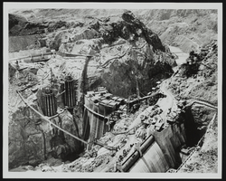
Aerial view of dam under construction: photographic print
Date
Archival Collection
Description
Image
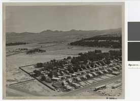
Aerial photograph of Las Vegas Boulevard and Nellis Boulevard, June 5, 1973
Date
Archival Collection
Description
Aerial view of Las Vegas Blvd. and Nellis Blvd looking north.
Transcribed Notes: Handwritten on back: "LV Blvd & Nellis Blvd looking north" Stamped on back: CNLV Engineering Dept"
Image

Film transparency of aerial view of Fremont Street (Las Vegas), circa 1947
Date
Archival Collection
Description
Aerial view of Fremont Street looking northwest from east of Second Street. Neon signs for Bentley's Western Trading Post, the Golden Nugget, the Eldorado Club, the Hotel Apache, the Boulder Club, Club Savoy, and the Pioneer Club are visible. A Shell gasoline station is on the northeast corner of Fremont and Second Streets.
Site Name: Fremont Street
Address: Fremont street, Las Vegas, NV
Image
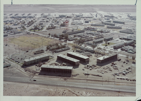
Aerial photograph of concrete barracks at Nellis Air Force Base, Nevada, circa 1960s-1970s
Date
Archival Collection
Description
Image
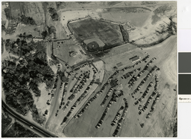
Aerial photograph of Cashman Field and remains of the Mormon Fort looking northeast, 1960
Date
Archival Collection
Description
Aerial view of Cashman Field and Old Mormon Fort looking northeast.
Image
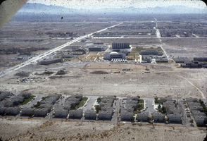
Slide of aerial view of University Park and University of Nevada, Las Vegas campus, circa 1971
Date
Archival Collection
Description
Image
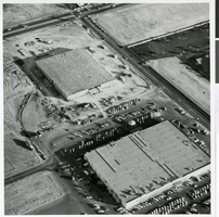
Aerial photograph of the Ed Von Tobel Lumber Company being constructed, Las Vegas, 1967
Date
Archival Collection
Description
Image
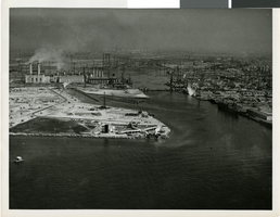
Aerial photograph of the HK-1 Flying Boat in the Los Angeles Harbor, circa 1947
Date
Archival Collection
Description
Image
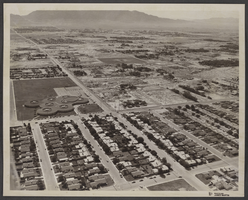
Aerial photograph of Von Tobel Junior High School, Las Vegas, Nevada, June 5, 1973
Date
Archival Collection
Description
Image
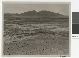
Aerial photograph over Cheyenne Avenue looking southeast, June 5, 1973
Date
Archival Collection
Description
Aerial view over Cheyenne Avenue looking southeast towards Frenchman Mountain
Transcribed Notes: Handwritten on back: "Over Cheyenne looking SE" Stamped on back: "CNLV Engineering Dept"
Image
