Search Results
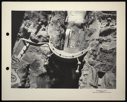
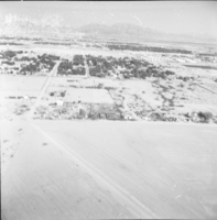
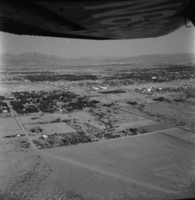
Aerial photograph of Hoover Dam, circa 1935-1936
Date
1935 to 1936
Archival Collection
Description
An aerial view of Boulder Dam with open jet flow gates (outlet works). Name officially changed to Hoover Dam in 1947.
Image