Search Results
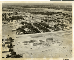
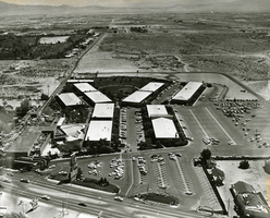
Aerial photograph of North Las Vegas, Nevada, June 5, 1973
Image
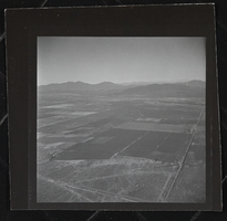
Photograph of aerial view of Pahrump (Nev.), 1950-1969
Image
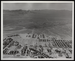
Photograph of an aerial view of Boulder City, Nevada, circa 1930s-1940
Image
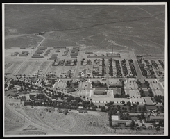
Photograph of an aerial view of Boulder City, Nevada, circa 1931-1940
Image

A nighttime aerial view of the Las Vegas Strip: photographic film
Image
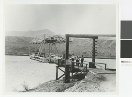
Photograph of Cottonwood Aerial Ferry, 1930-1935
Cottonwood Aerial Ferry carried customers between Searchlight, Nevada and Chloride, Arizona. It is now under Lake Mohave. Sign with ferry rates: Car $2.00, Truck $2.50, Motorcycle $1.00, Horseman .50, Stock .50, Pedestrian .25
Transcribed Notes: Transcribed from photo sleeve: "Cottonwood Aerial Ferry, from about 1930-1935. This was the last and the most unusual of several ferries that crossed at Cottonwood between Searchlight, Nev. and Chloride, Ariz., these being the two major towns in the area before 1920. Most were conventional barge types similar to the Arivada Ferry shown in another picture. The aerial ferry was powered by an automobile engine mounted on the upper framework, with the operator up with the engine. It was located at the mouth of Painted Canyon, a short distance upriver from the Cottonwood Cove Resort. Courtesy Ella Kay."
Image
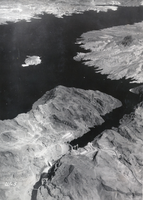
Film transparency of an aerial view of Hoover Dam, circa early 1930s
Image
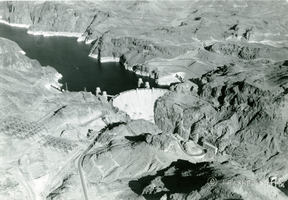
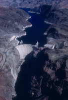
Aerial photograph of Lake Mead and Hoover Dam, circa 1935-1950
Image
Aerial photograph of the Sands Hotel, Las Vegas, 1962
Image
Slide of aerial view of Hoover Dam, circa late 1930s
Image