Search the Special Collections and Archives Portal
Search Results
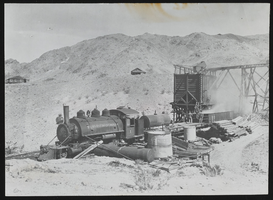
Noonday Mine locomotive: photograph
Date
Archival Collection
Description
Image
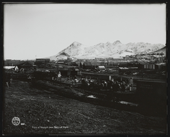
View of Tonopah from Railroad Depot: photograph
Date
Archival Collection
Description
Image
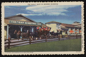
Last Frontier Village at the Last Frontier Hotel: postcards
Date
Archival Collection
Description
Image
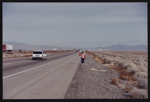
Photographs of Frontier Strike, Culinary Union, Las Vegas (Nev.), 1992 March 21 (folder 2 of 2)
Date
Archival Collection
Description
Participants take the Frontier Strike to a highway, likely Interstate 15. Strikers walk along the road and are pictured outside a recreational vehicle decorated with strike posters. There are also photos of an abandoned house, passing vehicles, and a train crossing. Arrangement note: Series I. Demonstrations, Subseries I.A. Frontier Strike
Image
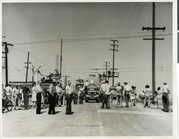
Photograph of the fuselage of Hughes Flying Boat being moved to Terminal Island, California, 1946
Date
Archival Collection
Description
Image
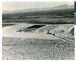
Aerial photograph of the Hughes Aircraft plant, Tucson, Arizona, 1951
Date
Archival Collection
Description
Image
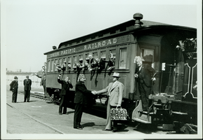
Group of unidentified people at a Union Pacific Railroad at unknown location: photographic print
Date
Archival Collection
Description
Dorothy Bell Scans UNLV-Public Lands Institute
Image
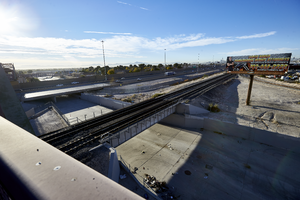
Looking southeast from the pedestrian bridge where I-15, the railroad tracks, and the Las Vegas Wash meet in North Las Vegas, Nevada: digital photograph
Date
Archival Collection
Description
From the UNLV University Libraries Photographs of the Development of the Las Vegas Valley, Nevada (PH-00394). Part of the collection documents the entire 19 mile length of the north/south Eastern Avenue / Civic Center Drive alignment. This photograph was captured in the section of Civic Center Drive between Alexander Road and Cheyenne Avenue.
Image
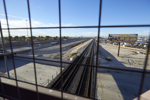
Looking south-southeast from the pedestrian bridge where I-15, the railroad tracks, and the Las Vegas Wash meet in North Las Vegas, Nevada: digital photograph
Date
Archival Collection
Description
From the UNLV University Libraries Photographs of the Development of the Las Vegas Valley, Nevada (PH-00394). Part of the collection documents the entire 19 mile length of the north/south Eastern Avenue / Civic Center Drive alignment. This photograph was captured in the section of Civic Center Drive between Alexander Road and Cheyenne Avenue.
Image
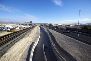
A portion of the upper Las Vegas Wash flood control channel can be seen between the railroad tracks and I-15, looking north-northeast, in North Las Vegas, Nevada: digital photograph
Date
Archival Collection
Description
From the UNLV University Libraries Photographs of the Development of the Las Vegas Valley, Nevada (PH-00394). Part of the collection documents the entire 19 mile length of the north/south Eastern Avenue / Civic Center Drive alignment. This photograph was captured in the section of Civic Center Drive between Alexander Road and Cheyenne Avenue.
Image
