Search the Special Collections and Archives Portal
Search Results
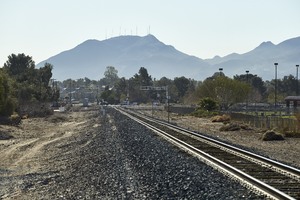
Railroad tracks lead towards Black Mountain off Eastern Avenue north of Warm Springs Road, looking east-southeast in Las Vegas, Nevada: digital photograph
Date
Archival Collection
Description
From the UNLV University Libraries Photographs of the Development of the Las Vegas Valley, Nevada (PH-00394). Part of the collection documents the entire 19 mile length of the north/south Eastern Avenue / Civic Center Drive alignment. This photograph was captured in the section of Eastern Avenue between Sunset and Warm Springs Roads.
Image
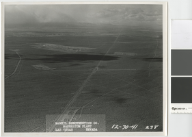
Aerial photograph showing terminal reservoir site, plant site, and temporary boarding camp, Basic Magnesium Inc., Henderson, Nevada, December 30, 1941
Date
Archival Collection
Description
Aerial view looking northwest from the extreme southeast corner of the Las Vegas Valley, showing the Basic Magnesium plant, Whitney Mesa, Las Vegas, and the Spring Mountains.
Transcribed Notes: Transcribed from front of photo: "McNeil construction Co. Magnesium plant, Las Vegas, Nevada, 12-30-41" Transcribed from photo sleeve: "Air view looking northwest showing terminal reservoir site (left center) plant site (upper center) temporary boarding camp (right center), BMI, 12-30-41"
Image
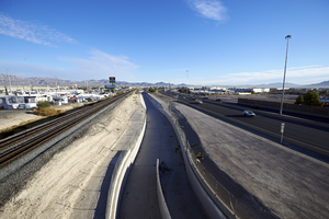
A portion of the upper Las Vegas Wash flood control channel can be seen between the railroad tracks and I-15, looking north-northeast, in North Las Vegas, Nevada: digital photograph
Date
Archival Collection
Description
From the UNLV University Libraries Photographs of the Development of the Las Vegas Valley, Nevada (PH-00394). Part of the collection documents the entire 19 mile length of the north/south Eastern Avenue / Civic Center Drive alignment. This photograph was captured in the section of Civic Center Drive between Alexander Road and Cheyenne Avenue.
Image
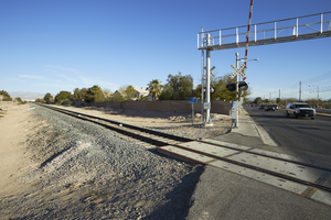
A railroad crossing Eastern Avenue north of Warm Springs Road is flanked by a single family neighborhood on one side and commercial development on the other, looking north-west in Las Vegas, Nevada: digital photograph
Date
Archival Collection
Description
From the UNLV University Libraries Photographs of the Development of the Las Vegas Valley, Nevada (PH-00394). Part of the collection documents the entire 19 mile length of the north/south Eastern Avenue / Civic Center Drive alignment. This photograph was captured in the section of Eastern Avenue between Sunset and Warm Springs Roads.
Image
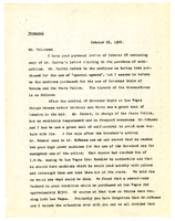
Letter from A. S. Halsted to N. A. Williams, October 26, 1922
Date
Archival Collection
Description
Text
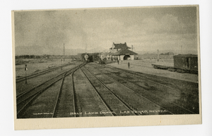
Photograph of the Salt Lake Depot railyard, Las Vegas (Nev.), 1900-1925
Archival Collection
Description
Image
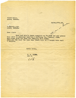
Letter from W. E. Smith to C. McLeod, March 27, 1913
Date
Archival Collection
Description
Text
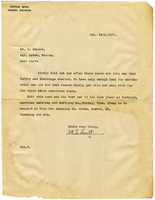
Letter from W. E. Smith to C. McLeod, October 14, 1913
Date
Archival Collection
Description
Text
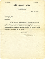
Letter from Clayton V. Smith to C. McLeod, June 5, 1913
Date
Archival Collection
Description
Text
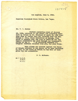
Letter from Frank R. McNamee to C. C. Barry, June 6, 1923
Date
Archival Collection
Description
Text
