Search Results
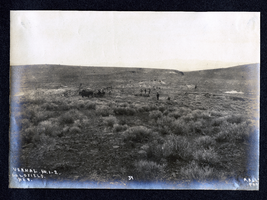
Photograph of men working at ?, Goldfield (Nev.), early 1900s
Archival Collection
Description
Caption: Vernal. No. 1-2. Goldfield. Nev. 59
Image

Photograph of mining operations, Goldfield (Nev.), early 1900s
Archival Collection
Description
Caption: Mines
Image
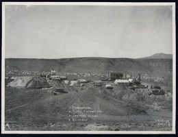
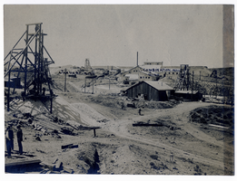
Photograph of mining operations, Goldfield (Nev.), early 1900s
Archival Collection
Description
Caption: Key reads: 1 Combination, 2 Mill Foundations, 3 January Lease, 4 Goldfield
Image
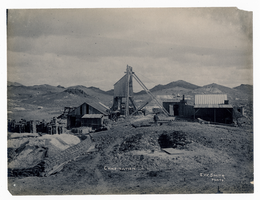
Photograph of Combination Mine, Goldfield (Nev.), early 1900s
Archival Collection
Description
Caption: Combination
Image
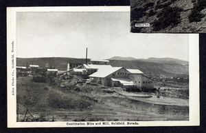
Postcard of the Combination Mine and Mill, Goldfield (Nev.), 1900-1920
Date
1900 to 1920
Archival Collection
Description
Caption: Combination Mine & Mill, Goldfield, Nevada
Image

Postcard of the Mohawk Mine operations, Goldfield (Nev.), 1900-1920
Date
1900 to 1920
Archival Collection
Description
Caption: Famous Mohawk Mine of Goldfield, Nevada.
Image
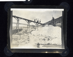
Photograph of men and women standing on ore cart trestle, Round Mountain (Nev.), early 1900s
Date
1900 to 1925
Archival Collection
Description
Photograph of men and women standing on ore cart trestle, Round Mountain (Nev.), early 1900s
Image
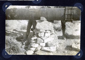
Photograph of a pipeline being set atop a rock pillar, Round Mountain (Nev.), early 1900s
Date
1900 to 1925
Archival Collection
Description
Photograph of a pipeline being set atop a rock pillar, Round Mountain (Nev.), early 1900s
Image
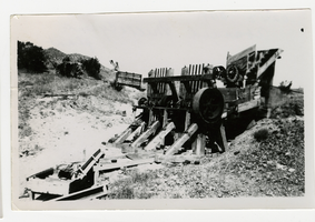
Photograph of an abandoned mill and cyanide plant, Goldfield (Nev.), 1900
Date
1900
Archival Collection
Description
Divide mining district
Image
Photograph of Combination Mine buildings, Goldfield (Nev.), early 1900s
Archival Collection
Description
Caption: Combination Mill and Mine
Image