Search Results

The El Dorado Mining District Record Book G, May 13, 1913
Date
1913-05-13
Description
The El Dorado Mining District Record Book G, May 13, 1913
Text
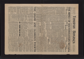
Newspaper, Tonopah Bonanza, July 7, 1906
Date
1906-07-07
Description
Articles on Southern Pacific Railroad and conditions of Bullfrog and Goldfield mining districts
Text
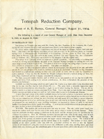
Report of the Tonopah Reduction Company, August 31, 1904
Date
1904-08-31
Description
Report of the Tonopah Reduction Company, August 31, 1904
Text
Evan and Kathy Thompson Photograph Collection
Identifier
PH-00042
Abstract
The Evan and Kathy Thompson Photograph Collection depicts Beatty, Nevada, Rhyolite, Nevada, and Keane Wonder Mine, California around 1925. The photographs include the Rhyolite Bottle House, mining operations in Rhyolite and Keane Wonder Mine, and citizens of Rhyolite.
Archival Collection
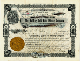
Certificate, The Bullfrog Gold Coin Mining Company, January 13, 1909
Date
1909-01-13
Archival Collection
Description
Certificate, The Bullfrog Gold Coin Mining Company, January 13, 1909
Image
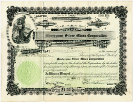
Certificate, Montezuma Silver Mining Corporation, August 19, 1919
Date
1919-08-19
Archival Collection
Description
Certificate, Montezuma Silver Mining Corporation, August 19, 1919
Image
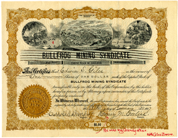
Certificate, Bullfrog Mining Syndicate, January 28, 1907
Date
1907-01-28
Archival Collection
Description
Certificate, Bullfrog Mining Syndicate, January 28, 1907
Image
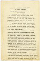
Minutes of the regular monthly meeting of the Board of Directors of Goldfield Belmont Extension Mining Company, April 8, 1912
Date
1912-04-08
Archival Collection
Description
Minutes of the regular monthly meeting of the Board of Directors of Goldfield Belmont Extension Mining Company, April 8, 1912
Text
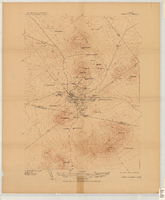
Map of the Tonopah Mining District, Tonopah (Nev.), 1910
Date
1910
Description
Ed. of Mar. 1904, reprinted Apr. 1910 ; Scale 1:12,000 (W 117 14'--W 117 12'/N 38 05'--N 38 03') ; 1 map : col. ; 41 x 31 cm ; Oriented with north toward the upper left ; Relief shown by contours and hachures ; Topography by W.J. Peters ; "Surveyed in 1902-1903." ; "Triangulation by U.S. Coast and Geodetic Survey." ;
Image