Search the Special Collections and Archives Portal
Search Results
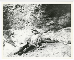
Photograph of O. K. Reed and his son Little O. K. near his claim at Gold Reed, Tonopah (Nev.), 1920
Date
Archival Collection
Description
Image
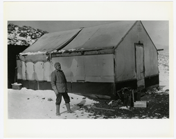
Photograph of Don Finley at Josiah Crowel's Chloride Cliff camp in winter, Beatty (Nev.), 1915
Date
Archival Collection
Description
Image
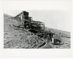
Photograph of Josiah Irving Crowell's mill at the Chloride Cliff Mine (Nev.), 1915
Date
Archival Collection
Description
Image
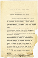
Minutes of the regular monthly meeting of the Board of Directors of Goldfield Belmont Extension Mining Company, August 12, 1912
Date
Archival Collection
Description
Text

Photograph of a man working outside the Dividend Mining Company mill, Tonopah Dividend Mine (Nev.), 1916
Date
Archival Collection
Description
Image
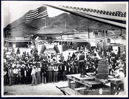
Photograph of a double handed drilling contest, Tonopah (Nev.), July 26, 1904
Date
Archival Collection
Description
Image
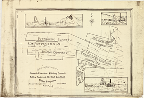
Map of the properties of the Tonopah Extension, Pittsburg Tonopah, Golden Anchor, and Red Rock Consolidated Mining Companies : Tonopah Mining District, Nye County (Nev.), 1901
Date
Description
Image
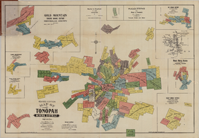
Map of the Tonopah Mining District, Tonopah (Nev.), 1903
Date
Description
Image
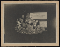
Ore samples from the Copenhagen Claim of the Mustang Extension Mining Company of Manhattan: photographic print
Date
Description
Image
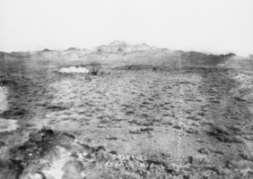
View of Gold Reed: photographic print
Date
Archival Collection
Description
From the Nye County, Nevada Photograph Collection (PH-00221) -- Series VII. Other areas in Nye County -- Subseries VII.H. Reed Family (Kawich Mountains, Nevada). Gold Reed, Kawich Mountains, Nye County, Nevada, probably about 1905. It was with a mine in Gold Reed that O.K. Reed made the money to purchase the ranch at Hawes Canyon. The ore at the mine was so rich that a person could stand off 50 or 60 feet and see the gold in the original outcropping; some of the ore sold for $1,000 a ton. Reed was partners in the mine with Jack May and a Mr.Wardle, Tonopah resident Austin Wardle’s father. Jack May and Reed were married to sisters, Mabel and Maude Hanley.
Image
