Search the Special Collections and Archives Portal
Search Results
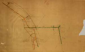
Map of the third level of the Clermont Mine, Goldfield, Nevada, circa 1902-1908
Date
1902 to 1908
Description
Hand-drawn, hand-colored and annotated map showing the third level of the Clermont Mine. 'Clermont, 3rd level, el. 5361.3.'
Image
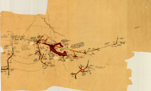
Map of the fourth level of the Clermont Mine, Goldfield, Nevada, circa 1902-1908
Date
1902 to 1908
Description
Hand-drawn, hand-colored and annotated map showing the fourth level of the Clermont Mine. Upper left and lower right corners missing.
Image
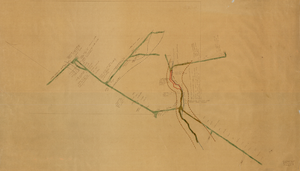
Map of the sixth level of the Clermont Mine, Goldfield, Nevada, circa 1902-1908
Date
1902 to 1908
Description
Hand-drawn, hand-colored and annotated map showing the sixth level of the Claremont Mine. 'Clermont, 6th level, el. 4971.4.'
Image
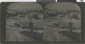
Photograph of mining views at night, Goldfield, Nevada, circa 1903
Date
1900 to 1930
Archival Collection
Description
Stereoview of Goldfield, Nevada taken by Olaf P. Larson. The images are mining views taken at night.
Image

Photograph of mining views at night, Goldfield, Nevada, circa 1903
Date
1900 to 1930
Archival Collection
Description
Stereoview of Goldfield, Nevada taken by Olaf P. Larson. The images are mining views taken at night.
Image
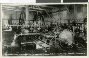
Postcard of machinery, Goldfield, Nevada, 1882
Date
1882
Archival Collection
Description
Description provided with image: "Pump machinery at New Yellow Jacket Shaft - Gold Hill, Storey County, Nevada - Photo 1882."
Image
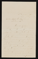
Letter from John M. Bunker, St. Thomas, Nevada to Mary Etta Syphus, Panaca, Nevada
Date
1894-11-19
Archival Collection
Description
From the Syphus-Bunker Papers (MS-00169). The folder contains an original handwritten letter, a typed transcription of the same letter, and a copy of original letter attached.
Text
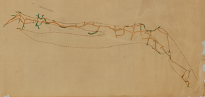
Map of the second level of the Red Top Mine, Goldfield, Nevada, circa 1902-1908
Date
1902 to 1908
Description
'Red Top 2nd level, 575780.' Hand-drawn, hand-colored and annotated map showing the second level of the Red Top Mine.
Image
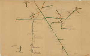
Map of the 380 foot level of the Combination Mine, Goldfield, Nevada, circa 1902-1908
Date
1902 to 1908
Description
'380 ft. level.' Hand-drawn, hand-colored and annotated map showing the 380 foot level of the Combination Mine.
Image
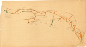
Map of the third level of the Red Top Mine, Goldfield, Nevada, circa 1902-1908
Date
1902 to 1908
Description
'Red Top 3rd level, 5659.90.' Hand-drawn, hand-colored and annotated map showing the third level of the Red Top Mine.
Image
Pagination
Refine my results
Content Type
Creator or Contributor
Subject
Archival Collection
Digital Project
Resource Type
Material Type
Place
Language
Records Classification
