Search Results

Photograph of men working at the Red Top Mine, Goldfield (Nev.), early 1900s
Archival Collection
Description
Caption: The new strike on the red top. Goldfield
Image
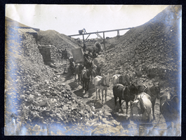
Photograph of poeple loading sacked ore for transport, Tonopah (Nev.), early 1900s
Archival Collection
Description
Caption: Tonopah Mine
Image
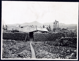
Photograph of January lease operation with bags of ore, Goldfield (Nev.), early 1900s
Archival Collection
Description
Caption: January Lease
Image
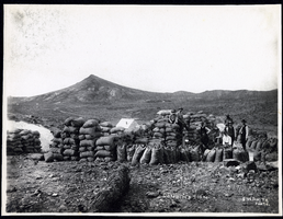
Photograph of people with sacks of ore at Combination Mine, Goldfield (Nev.), early 1900s
Archival Collection
Description
Caption: Combination
Image
Photograph of sacking ore at Tonopah Club Mine, Goldfield (Nev.), early 1900s
Archival Collection
Description
Caption: The Tonopah Club
Image
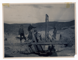
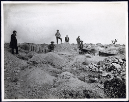
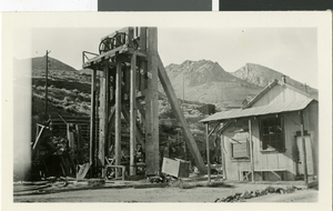
Photograph of men standing at entrance to mine shaft, Goldfield (Nev.), early 1900s
Archival Collection
Description
Caption: Velvet Shaft No. 1, Goldfield
Image
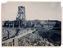
Photograph of men working at January Lease mine, Goldfield (Nev.), early 1900s
Archival Collection
Description
Caption: January Lease, Goldfield
Image
Photograph of men loading ore at Sandstorm Mine, Esmeralda (Nev.), early 1900s
Archival Collection
Description
Caption: Sandstorm Loading Ore
Image
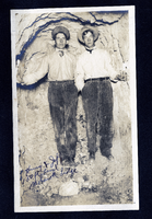
Photograph of Dalta Hurry and Raymond Jefferson in Mohawk Ledge, Goldfield (Nev.), early 1900s
Date
1900 to 1925
Archival Collection
Description
Caption: Hurry & Jeff 150 ft level Mohawk Ledge
Image
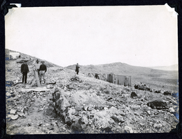
Photograph of a mine in an unknown location, circa early 1900s
Date
1900 to 1910
Archival Collection
Description
A mine possibly in Eldorado Canyon.
Image