Search Results
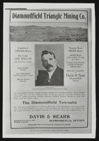
Mining Advertisment for Diamondfield Triangle Mining Co.: photographic print
Date
Archival Collection
Description
Image
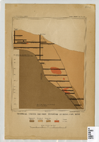
Map of a vertical cross-section through the Eureka Consolidated Mine, Eureka County (Nev.), 1883
Date
Description
Image
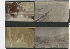
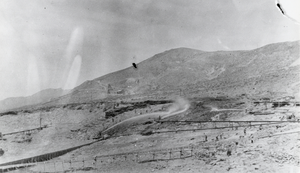
Photograph album 2, Ferron-Bracken Collection, circa 1905-1935, page 110
Date
Description
Image
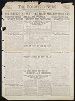
Goldfield News: newspaper issue
Date
Archival Collection
Description
Text
Placer miners using hydraulic methods: photographic print
Date
Archival Collection
Description
From the Nye County, Nevada Photograph Collection (PH-00221) -- Series V. Smoky Valley, Nevada and Round Mountain, Nevada -- Subseries V.C. Lofthouse-Berg Families (Round Mountain).
Image
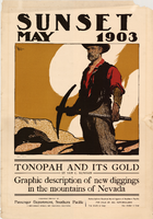
Poster of the cover of Sunset magazine, May 1903
Date
Description
Image
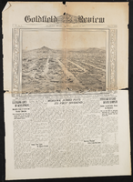
Goldfield Review: newspaper issue
Date
Archival Collection
Description
Text
Fred and Maurine Wilson Photograph Collection
Identifier
Abstract
The Fred and Maurine Wilson Photograph Collection depicts the Wilson Family, events, and locations in Las Vegas, Nevada and the Southwestern United States from approximately 1860 to 1990. The photographs primarily depict early Las Vegas, including the Mormon Fort and Kiel Ranch; mines, towns, and railroads in Southern Nevada; the construction and planning of the Hoover (Boulder) Dam on the Colorado River; and the Wilson Family. The photographs also include prominent Las Vegas families such as the Park Family, aerial photographs of the city, landmarks on Fremont Street and downtown Las Vegas, and desert landscapes.
Archival Collection
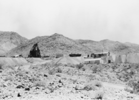
Standard Slag Mine and Mile above Tecopa, California: photographic print
Date
Archival Collection
Description
From the Nye County, Nevada Photograph Collection (PH-00221) -- Series I. Amargosa Valley, Nevada -- Subseries I.B. Records Family.
Image
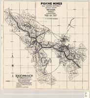
Map of the Pioche mines, Ely Mining District, Lincoln County (Nev.), 1909
Date
Description
Image