Search the Special Collections and Archives Portal
Search Results
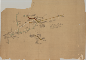
Map of the Clermont Mine, 8th level, Nye County (Nev.), 1900-1925
Date
1900 to 1925
Description
Sectional mining map; hand-drawn and annotated in colored pencil
Image
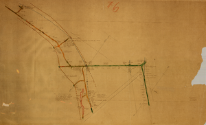
Map of the Clermont Mine, 3rd level, Nye County (Nev.), 1900-1925
Date
1900 to 1925
Description
Sectional mining map; hand-drawn and annotated in colored pencil
Image
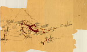
Map of the Clermont Mine, 4th level, Nye County (Nev.), 1900-1925
Date
1900 to 1925
Description
Sectional mining map; hand-drawn and annotated in colored pencil
Image
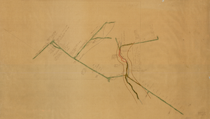
Map of the Clermont Mine, 6th level, Nye County (Nev.), 1900-1925
Date
1900 to 1925
Description
Sectional mining map; hand-drawn and annotated in colored pencil
Image
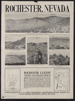
Newspaper clipping, Rochester Hills Mining Company Advertisement, Rohester (Nev.), 1900-1925
Date
1900 to 1925
Description
Caption: Rochester, Nevada
Text

Photograph of the Burke Mine tunnel area and store atop a hill, Pioche (Nev.), 1900-1925
Date
1900 to 1925
Archival Collection
Description
View of Burke Tunnel area-building at top of hill was store for Burke tunnel. #93 on left, some buildings on left remain, 1982. Photo 1900-1910. Pioche, Nev. ID by Vic Cottino/Jerome Sears July 1982
Image

Photograph of the Northern Belle Mine headworks and ore loader, Candelaria (Nev.), 1900-1925
Date
1900 to 1925
Archival Collection
Description
Northern Belle mine headworks; ore loader chutes at entrance to Pickhandle Gulch, east end of Candelaria. Man in the buggy is W.H. Shockley
Image

Map of the Red Top Mine, 2nd level, Washoe County (Nev.), 1900-1925
Date
1900 to 1925
Description
Sectional mining map; hand-drawn and annotated in colored pencil
Image

Map of the Red Top Mine, 3rd level, Washoe County (Nev.), 1900-1925
Date
1900 to 1925
Description
Sectional mining map; hand-drawn and annotated in colored pencil
Image
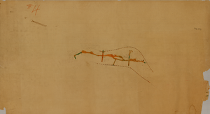
Map of the Red Top Mine, 1st level, Washoe County (Nev.), 1900-1925
Date
1900 to 1925
Description
Sectional mining map; hand-drawn and annotated in colored pencil
Image
Pagination
Refine my results
Content Type
Creator or Contributor
Subject
Archival Collection
Digital Project
Resource Type
Year
Material Type
Place
Language
Records Classification
