Search the Special Collections and Archives Portal
Search Results

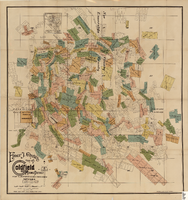
Map of the Goldfield Mining District, Nye and Esmeralda Counties, Nevada, 1905
Date
1905
Description
Copyright 1905 by Elmer J. Chute, E.M. Goldfield, Nev. In lower right corner: "Designed and drawn by R.W. Griswold." Includes inset location map; Includes township and range grid. Scale [ca. 1:20, 400. 1 in.=aprrox. 1,700 feet]
Image

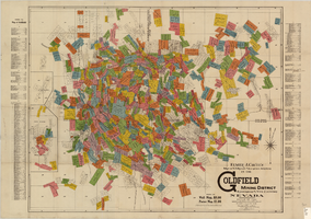
Map of U.S. patent and location surveys in the Goldfield Mining District, Esmeralda and Nye Counties, Nevada, 1907
Date
1907
Description
'Elmer J. Chute, E.M. and Olmstead & Rich. U.S. Deputy Mineral Surveyors, 1907. Copyright 1907 by Elmer J. Chute, E.M., Goldfield, Nev.' Includes index Includes township and range grid. Scale [ca. 1:22,800. 1 in. to approx. 1900 feet]
Text

Map of Argentite Red Mountain Mining District, Esmeralda County, Nevada, circa 1908-1913
Date
1908 to 1913
Description
'Compiled by C. A. Liddell, U.S. Mineral Surveyor, Tonopah, Nevada, from surveys by Sherwin, Giles and Liddell.' Published between 1908-1913? Scale [ca. 1:7,200]. 1 in. equals 600 feet. Map printed on linen.
Image
Pagination
Refine my results
Content Type
Creator or Contributor
Subject
Archival Collection
Digital Project
Resource Type
Year
Material Type
Place
Language
