Search the Special Collections and Archives Portal
Search Results
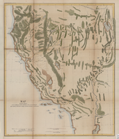
Map showing the different routes travelled over by the detachments of the Overland Command in the spring of 1855 from Salt Lake City, Utah, to the Bay of San Francisco, 1855
Date
Description
Image
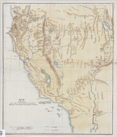
Map showing the different routes travelled over by the detachments of the Overland Command in the spring of 1855 from Salt Lake City, Utah, to the Bay of San Francisco, 1855
Date
Description
Image
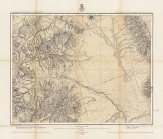
Map of part of south western Colorado, January 10, 1878
Date
Description
38 x 49 cm. Relief shown by hachures and spot heights. "Atlas sheet no. 61(D)." "Issued Jan. 10th 1878." "Expeditions of 1873, 74, 75 & 76 under the command of 1st. Lieut. Geo. M. Wheeler, Corps of Engineers, U.S. Army." Prime meridians: Washington, D.C. and Greenwich. Includes sectional diagram showing how atlas sheets fit together. "Weyss, Lang & Herman, del." "By order of the honorable the Secretary of War." "Under the direction of Brig. General A. A. Hunphreys, Chief of Engineers, U. S. Army." " J. C. Spiller, Louis Nell, topographical assistants." "Expeditions of 1873, 74, 75 & 76 under the command of 1st. Lieutenant William L. Marshall, Corps of Engineers, U. S. Army, 1st Lieutenant Eric Bergland, Corps of Engineers, U. S. Army, Executive Officers and field astronomers." Original publisher: U.S. Geographical Surveys West of the 100th Meridian, Scale 1 inch to 4 miles or 1:253440.
Image

Map of economical features of parts of southern Colorado and northern New Mexico, January 8, 1878
Date
Description
37 x 49 cm. Relief shown by hachures and spot heights. "Atlas sheet no. 69(B)." "Issued Jan'y 8th 1878." "Expeditions of 1874-1875 & 1877 under the command of 1st. Lieut. Geo. M. Wheeler, Corps of Engineers, U.S. Army." Prime meridians: Greenwich and Washington, D.C. "Weyss, Lang & Herman, del." "By order of the honorable the Secretary of War." "Under the direction of Brig. General A. A. Hunphreys, Chief of Engineers, U. S. Army." Original publisher: U.S. Geographical Surveys West of the 100th Meridian, Scale: 1 inch to 4 miles or 1: 253440.
Image
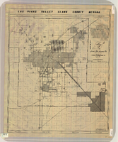
Map of Las Vegas Valley, Clark County, Nevada, circa 1950-1956
Date
Description
Image
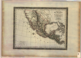
Map of Mexico and Central America, 1826
Date
Description
Image
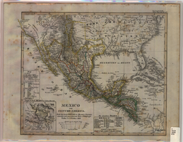
Map of Mexico and Central America, 1828
Date
Description
Image
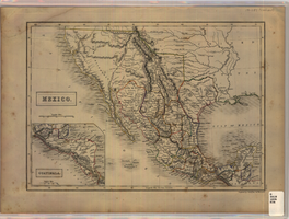
Map of Mexico, circa 1830s-1840s
Date
Description
Image
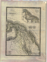
Map of Mexico and Central America, 1842
Date
Description
Image
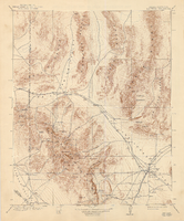
Topographic map of the Las Vegas Valley and surrounding northern and western mountain ranges, 1943
Date
Description
Text
