Search the Special Collections and Archives Portal
Search Results
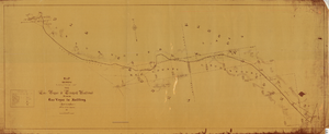
Map showing location of the Las Vegas & Tonopah Railroad from Las Vegas to Bullfrog, Nevada, 1906
Date
Archival Collection
Description
Image
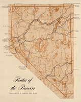
Map showing eighteenth- and nineteenth-century pioneer routes through the state of Nevada
Date
Description
Image
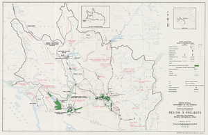
Map of Region 3 projects, Arizona-California-Nevada-New Mexico-Utah, September 1967
Date
Description
Image
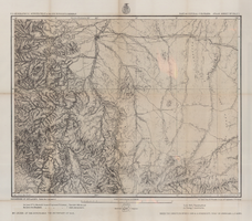
Map of part of central Colorado, May 7, 1877
Date
Description
38 x 48 cm. Relief shown by hachures and spot heights. "Atlas sheet no. 53(C)." "Issued May 7th 1877." "1st. Lieut. Geo. M. Wheeler, Corps of Engineers, U.S. Army." Prime meridians: Greenwich and Washington, D.C. Includes sectional diagram that shows how atlas sheets fit together. "Weyss, Herman & Lang, del." "Louis Nell, J. J. Young, topographical assistants." "Under the direction of Brig. General A. A. Hunphreys, Chief of Engineers, U. S. Army." "Expeditions of 1873 and 1876 under the command of 1st. Lieutenant William L. Marshall, Corps of Engineers, U. S. Army, 1st Lieutenant Eric Bergland, Corps of Engineers, U. S. Army, Executive Officers and field astronomers." "By order of the honorable the Secretary of War." Original publisher: Graphic Co. photo., Scale: 1 inch to 4 miles or 1:253440.
Image
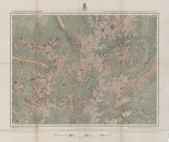
Map of economical features of Southwest Colorado, San Juan mining region, circa 1877
Date
Description
Image
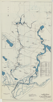
Map and operational diagram, lower Colorado River, Lees Ferry to Gulf of California, May 1957
Date
Description
Image

Map of Lincoln County, Nevada and Mohave County, Arizona area, 1892
Date
Description
polyconic proj. (W 115°--W 114°/N 37°--N 35°).
Image


