Search the Special Collections and Archives Portal
Search Results
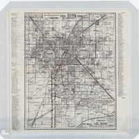
Street map of greater Las Vegas, Nevada, 1965-1966
Date
1965 to 1966
Description
Rev. 1965-1966 ed. 55 x 42 cm., folded to 29 x 12 cm. Panel title: Front Boy's official street map. Relief shown by spot heights. Copyright held by Russell A. Meador. Includes notes, quotations and indexes. Street index on verso. "Detailed guide of North Las Vegas, Las Vegas, Paradise Valley, and vicinity." Original publisher: Meador, Russell A.
Image
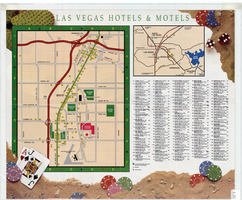
Map of Las Vegas hotels & motels, June 1990
Date
1990-06
Description
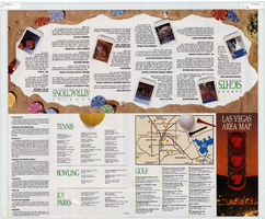
Color; 33 x 27 cm. on sheet 46 x 55 cm., folded to 23 x 10 cm. Panel title: Las Vegas area map. Shows locations of hotel and motels in the area of the Strip and Downtown. Also shows locations of country clubs. Includes a separate map of locations of hotels and motels in the surrounding area including North Las Vegas. Includes index. "LVM-75M-6/90."--Verso. Map of locations of golf courses on the verso along with information on points of interest, attractions, general information, tennis, bowling, recreational vehicle parks, and golf.
Image
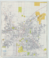
Street map of Las Vegas, North Las Vegas and vicinity, circa 1979
Date
1979
Description
Color; 88 x 73 cm., folded to 24 x 10 cm. "C6-87." Panel title: Las Vegas. Also shows Nellis Air Force Base. Indexes on verso. "Cartographic Department copyright 1979 by California State Automobile Association." Original publisher: California State Automobile Association. Cartographic Department. Scale: One kilometer = 5/8 mile
Image
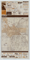
City map of Las Vegas, 1973
Date
1905-05-26
Description
Color; 55 x 45 cm., on sheet 95 x 47 cm., folded to 24 x 10 cm. Panel title: Las Vegas city map. Copyright held by Cardinal Publishing Company. Relief shown by hachures. Includes illustrations and advertisements. Index, text, illustrations, advertisements, and map of "Lake Mead National Recreation Area, lower basin section" on verso. Original publisher: Cardinal Publishing Company.
Image
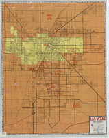
Street map of Las Vegas and vicinity, 1965
Date
1905-05-18
Description
1965 [ed.]. Color; 70 x 55 cm., folded to 24 x 10 cm. Panel title: Las Vegas, North Las Vegas and vicinity street map, home buyers guide. "1/65." Includes names of subdivisions. Index and advertisements for subdivisions on verso. "Compliments of First Western Savings & Loan Association."--Panel. "Drawn by Bob and Beverly Bennett, 1/65." Original publisher: Amusement Guide Publications of America.
Image

Topographic survey map of State Office Complex vicinity, September 25, 1970
Date
1970-09-25
Description
Blueline map, 74 x 110 cm. "Portion SE? SW? Section 27, Township 20 south, Range 61 east, M.D.M. & M., City of Las Vegas, Nev." "This survey was completed on September 25, 1970, at the instance of the state of Nevada Planning Board and correctly shows the elevation of all buildings and other structures." Shows City of Las Vegas Library, Dula Center, Nevada Highway Patrol building, YMCA. and State of Nevada Office Building. Library's copy is missing the lower right corner. Stamped in lower right-hand corner "Stephen F. Turner, Registered land surveyor - State of Nevada, No. 1803."
Image
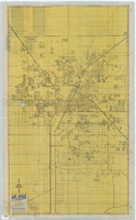
Street map of Las Vegas, North Las Vegas and vicinity, circa 1969
Date
1905-05-22
Description
Color; 100 x 58 cm., folded to 24 x 11 cm. "569." Indexes on verso. Library's copy has a small piece missing along the left-hand side of the map. Original publisher: California State Automobile Association.
Image
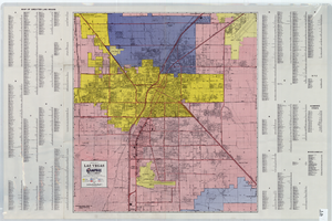
A general map of Las Vegas, 1969
Date
1905-05-22
Description
Color; 60 x 55 cm. on sheet 64 x 96 cm. At top left of map: Map of greater Las Vegas. Includes index.
Image
Pagination
Refine my results
Content Type
Creator or Contributor
Subject
Archival Collection
Digital Project
Resource Type
Year
Material Type
Place
Language


