Search the Special Collections and Archives Portal
Search Results
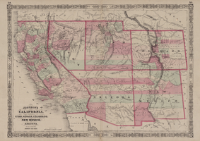
Map of California, with territories of Utah, Nevada, Colorado, New Mexico, and Arizona, 1864
Date
1864
Description
40 x 62 cm. Relief shown by hachures. Prime meridians: Greenwich and Washington. Page numbers at top: 58-59. "Entered according to act of Congress in the year 1864 by A. J. Johnson in the Clerk's Office of the District Court of the United States for the Southern District of New York." Original publisher: Johnson and Ward.
Image
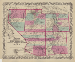
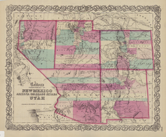
Map of the territories of New Mexico, Arizona, Colorado, Nevada, and Utah, 1855
Date
1855
Description
29 x 36 cm. Relief shown by hachures. Prime meridians: Greenwich and Washington. "Entered according to act of Congress in the year 1855 by J.H. Colton & Co. in the Clerk's Office of the Dist. Office of the U.S. for the Southern. Dist. of New York." Hand colored. Decorative border. Atlas p. number in lower-right margin: 67. Shows routes of explorers, proposed railroad routes, wagon route, mail route, Indian reserves and mines. On verso: History and statistical view of Mexico. Original publisher: J.H. Colton.
Image
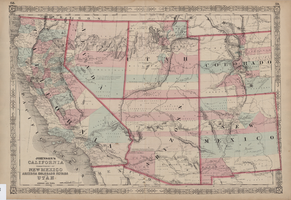
Map of California, territories of New Mexico, Arizona, Colorado, Nevada and Utah, circa 1863
Date
1861 to 1865
Description
40 x 62 cm. Relief shown by hachures and spot heights. Prime meridians: Greenwich and Washington. "Historical and statistical view of the United States, 1860"--Verso. Atlas page numbers at top: 58-59. Arizona became a territory in 1863, and Nevada became a state on October 31, 1864, so this map was either published in 1863 or in 1864 before the end of October. Original publisher: Johnson and Ward.
Image
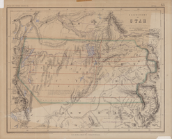
Map of territory of Utah, 1857
Date
1857
Description
31 x 39 cm. Relief shown by hachures and spot heights. "Entered in Sta. Hall London & according to act of Congress in the year 1857 by H.D. Rogers in the Clerks Office of the District Court of Massachusetts." Includes proposed Pacific railway routes. In upper margin: Atlas of United States &c., 13. Original publisher: John Murray, Scale: 3,450,000 of nature, 54 1.
Image
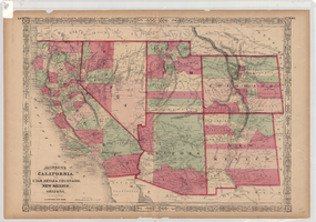
Map of California, and territories of Utah, Nevada, Colorado, New Mexico and Arizona, 1864
Date
1864
Description
'Johnson's California, also Utah, Nevada, Colorado, New Mexico, and Arizona, published by A.J. Johnson, New York.' 'Entered according to act of Congress in the year 1864, by A.J. Johnson in the Clerks Office of the District Court of the United States for the southern district of New York.' Atlas page numbers in upper margin: 67-68. Relief shown by hachures. Prime meridian: Greenwich and Washington. Shows natural features, locations of Indian tribes, proposed railroad routes, routes of explorers, trails, county boundaries and populated places. Hand colored. On verso: 'Historical and statistical view of the West India Islands or Columbian Archipelago' (p. 80) and 'Historical and statistical view of Mexico and Central America' (p. 79). Scale [ca. 1:3,484,800]. 1 in. to ca. 55 miles (W 124°--W 102°/N 42°--N 32°).
Text
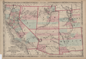
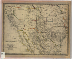
Map of Utah, New Mexico, Texas, California, Indian territory, and the northern states of Mexico, 1852
Date
1852-01-01
Description
At head of title: 'North America, sheet XV.' 'Published under the superintendence of the Society for Diffusion of Useful Knowledge.' At bottom center of map:'London, Charles Knight, Jany. 1st, 1852.' At bottom right of map: ' J. & C. Walker Sculpt.' Scale [1:7,500,000] 1 degree to 68.89 English miles (W 125°--W 92°/N 43°30?--N 22°30?). Relief shown by hachures. Atlas page number in lower margin: 144. Boundaries hand colored. Includes notes, locations of Indian tribes, population statistics. Charles Knight.
Image
Pagination
Refine my results
Content Type
Creator or Contributor
Subject
Digital Project
Resource Type
Material Type
Place
Language

