Search the Special Collections and Archives Portal
Search Results
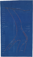
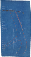
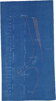
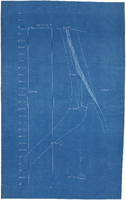
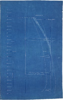
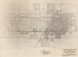
Map to accompany agreement with Las Vegas Land and Water Company covering furnishing of water by UPRRCo. to LVL&WCo. at Las Vegas, Nevada, October 4, 1950
Date
1950-10-04
Archival Collection
Description
'Los Angeles & Salt Lake Railroad Company, Union Pacific Railroad Company, Exhibit A.' 'Office of Vice President-LVL&WCompany, Los Angeles, California, October 4, 1950.'
Image
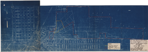
Map showing property to be leased to Willie T. Stewart, Vernon E. Bunker, Earl Leavitt and William Udell Stewart at Las Vegas, Nevada, January 31, 1951
Date
1951-01-31
Archival Collection
Description
'Office of Vice President, Los Angeles, California.' Accompanies: William Reinhardt letter to A. E. Stoddard, January 31, 1951 (Box 11 Folder W18-1-12).
Image
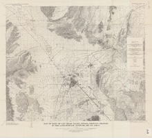
Map of part of Las Vegas Valley, Nevada, showing changes in the land-surface altitude, 1935 to 1940-41
Date
1965
Description
Genre/Form: Topographic map. Scale 1:96,000 (W 115°30´--W 114°45´/N 36°30´--N 36°00´). 1 map ; 58 x 70 cm. Series: Water-supply paper (Washington, D.C.) ; 1780. Relief shown by contours. "After C.R. Longwell (written communication, 1954, fig. 30)." Originally published as plate 12 of Available water supply of the Las Vegas ground-water basin, Nevada, by Glenn T. Malmberg, published by the Geological Survey in 1965 as its Water-supply paper 1780. Includes township and range lines. Interior, Geological Survey
Image
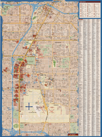
Maps of Las Vegas metropolitan area, Grand Canyon National Park and national parks near Las Vegas, Nevada, 2008
Date
2008
Description
'Cartography, H. Frommer, J. Habersetzer, R. Jendrzejewski, K. Berndtson, M. Grünke, P. Heine, K. Borch. ' On map verso: statistics on Las Vegas, U.S. time zones, maps of Las Vegas and region, Las Vegas and national parks, Grand Canyon National Park, and Grand Canyon Village. Relief is show by shading and colors on Las Vegas & national parks and Grand Canyon National Park maps. Index terms are in English, German, French, Italian, and Spanish. Includes inset map of Grand Canyon Village. Shows casinos, tourist attractions, shows, public buildings, shopping malls, parks, and golf courses. Original publisher: Borch GmbH. 7th ed. '1:20 000.' Original map is laminated.
Text
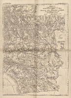
General map showing approximate location of better known springs and wells in the Mohave and adjacent deserts, southeastern California and southwestern Nevada, circa 1908-1909
Date
1905 to 1912
Description
At top of map: 'U.S. Geological Survey, George Otis Smith, Director. Water-supply paper no. 224, pl. 1.' 'Topography compiled from U.S. Geographical Survey atlas sheets,Perris' map of Southern California and other sources.' Relief shown by hachures. Shows township and range grid. Covers the area from Bishop south to the Mexican border, from Long Beach and San Diego to the Arizona border, and the southern part of Nevada, from Beatty and Mesquite south. Scale [ca. 1:1,140,480. 1 in. to approx. 18 miles] (W 118°00´- -W 114°00´/N 37°00´--N 32°32´). Series: Water-supply paper (Washington, D.C.)
224. Map is plate 1 from the U.S. Geological Survey Water-supply paper 224.
224. Map is plate 1 from the U.S. Geological Survey Water-supply paper 224.
Image
Pagination
Refine my results
Content Type
Creator or Contributor
Subject
Archival Collection
Digital Project
Resource Type
Material Type
Place
Language
