Search the Special Collections and Archives Portal
Search Results
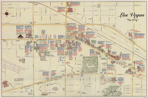
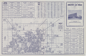
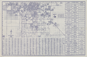
Maps of the Las Vegas Strip, downtown and metropolitan Las Vegas area, the Grand Canyon and southern Nevada, circa 1997
Date
1995 to 1999
Description
'Detail maps for downtown, neighborhoods, out of town, Grand Canyon' -- front panel. Maps on verso: Downtown -- Out of town and short adventures -- Greater Las Vegas -- Grand Canyon, South Rim Village. Major buildings and points of interest on the Las Vegas Strip shown pictorially. Includes text and notes. Originally published by MapEasy, Inc. Scale [ca. 1:10,560. 1 inch to approximately 1/6 mile].
Text
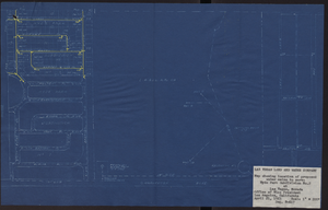
Map showing location of proposed water mains to serve Hyde Park Subdivision No. 2 at Las Vegas, Nevada, April 21, 1953
Date
1953-04-21
Archival Collection
Description
'Drawing B-617.' 'Office of Vice President, Los Angeles,California.' Accompanies: L. R. Maag letter to Thomas A. Campbell, June 15, 1953 (Box 14 Folder W26 File No. 1).
Image
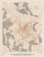
Index map showing locations of geologic sections on plate 2 and wells on plates 2 and 3, Las Vegas Valley, Nevada, 1981 (Water-supply paper 2320-A)
Date
1981
Description
'Department of the Interior, U.S. Geological Survey. Water-supply paper 2320-a, plate 4.' 'Prepared in cooperation with the Clark County Department of Comprehensive Planning.' 'Base from U.S. Geological Survey 1:100,000 , Boulder City, Ariz.-Nev., Las Vegas, Nev.-Calif., Mesquite Lake, Nev.-Calif., 1978, Lake Mead, Nev.-Ariz., 1979.' 'Geology from Malmberg (1965); Longwell and others (1965); Bell and Smith (1980); and J. R. Harrill, 1976.' Shows township and range lines. Scale 1:100,000 (W 115°30´--W 115°00´/N 36°30´--N 36°00´). Series: U.S. Geological Survey water-supply paper
2320-A. Originally published as plate 4 of Ground-water conditions in Las Vegas Valley, Clark County, Nevada. Part I. Hydrogeologic framework / by Russell W. Plume, published by the U.S. Geological Survey in 1989 as Water-supply paper 2320-A.
2320-A. Originally published as plate 4 of Ground-water conditions in Las Vegas Valley, Clark County, Nevada. Part I. Hydrogeologic framework / by Russell W. Plume, published by the U.S. Geological Survey in 1989 as Water-supply paper 2320-A.
Image
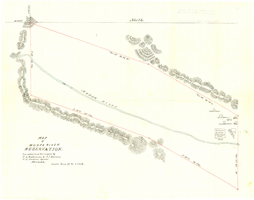
Map of Moapa River Reservation, located and surveyed by C. A. Bateman & A. J. Barnes, U.S. Indian agents, Nevada, 1875
Date
1875
Description
Scale 600 ft. to 1 inch. Relief shown by hachures. Shows buildings. Shows township and range grid. "Rec with Indian office letter June 10 1875. Copies sent to Sup. Gen. and R&R at Pioche Nevada August 9 1875" handwritten in blue ink on verso.
Image
Pagination
Refine my results
Content Type
Creator or Contributor
Subject
Archival Collection
Digital Project
Resource Type
Material Type
Place
Language

