Search the Special Collections and Archives Portal
Search Results
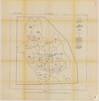
Map showing estimated average recharge to and discharge from ground-water reservoirs by basins, and hydraulic potential in Clark and Nye counties, Nevada, 1963
Date
1963
Description
'T.E. Eakin, S.L. Schoff, and P. Cohen, 1963.' 'Department of the Interior, United States Geological Survey, TEI-833.' 'Prepared in cooperation with the U.S. Atomic Energy Commission.' Scale 1:500,000 (W 117°30´--W 115°00´/N 38°30´--N 36°30´). Originally published as figure 2 in Regional hydrology of a part of southern Nevada : a reconnaissance / by Thomas E. Eakin, Stuart L. Schoff, and Philip Cohen, published by the U.S. Geological Survey in 1963 as number 833 of the Trace elements investigation report.
Image

Map showing general plan for the district boundary of Lateral Sanitary Sewer District No. 1, Las Vegas, Nevada, circa 1928
Date
1925 to 1932
Description
' Webster L. Benham, consuting engineer.' 'Sheet 1 of 13.' Scale [ca. 1:3,600. 1 inch to approximately 300 feet]. Blueprint. Plat map. Library's copy has various areas colored in with red pencil. City of Las Vegas.
Image
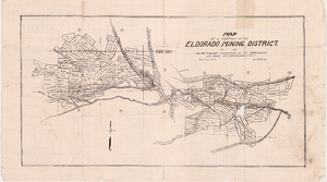
Map of a portion of the Eldorado Mining District, November 1916
Date
1916-11
Description
'Edition No. 2. November 1916.' Map is one side of a folded flyer advertising mines and mining in the Eldorado Canyon district. Transporation options to the area are listed. Scale: 1" = 1000'.
Text

Pagination
Refine my results
Content Type
Creator or Contributor
Subject
Archival Collection
Digital Project
Resource Type
Material Type
Place
Language

