Search the Special Collections and Archives Portal
Search Results

Plat map of El Rancho Village, Clark County, Nevada, July 28, 1942
Date
Description
Text
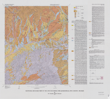
Surficial geologic map of the Specter Range NW quadrangle, Nye County, Nevada, 1989
Date
Description
Image
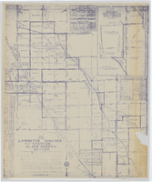
Map of the Livingston Ranches near Overton, Clark County, Nevada, March 27, 1920
Date
Description
Image
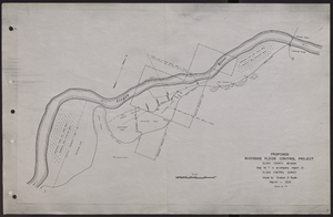
Map of proposed flood control project on the Virgin River in Clark County, Nevada, March, 1934
Date
Archival Collection
Description
Image
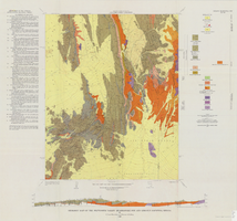
Geologic map of the Plutonium Valley quadrangle, Nye and Lincoln counties, Nevada, 1965
Date
Description
Image
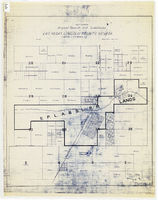
Plat showing original townsite and subdivisions, Las Vegas, Lincoln County, Nevada, May 1905
Date
Description
Land owned by the San Pedro, Los Angeles & Salt Lake Railroad is outlined. Scale: [ca. 1:12,000]. 1 inch = 1,000 feet. Cadastral map. Blueline print. Additional copy available in the J.T. McWilliams manuscript collection
Image
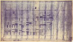
Plat of original townsite of Las Vegas, Clark County, Nevada, November 25, 1927
Date
Description
Subtitle: 'On N 1/2 of SW 1/4 section 27, T 20 S, R 61 E, M.D. Mer. showing cast iron water mains. Including location and distances of valves, fire hydrants, house connections, etc. Constructed by Las Vegas Land &Water Company. Construction completed Nov. 25-1927. Cast iron pipe system throughout made at Provo, Utah by Pacific States Cast Iron Pipe Company. R.N. Clark, Construction Engineer. Map and survey made by J.T. McWilliams, C.E., Las Vegas, Nev.' Map shows ownership of some parcels of land. Scale [ca. 1:960]. 1 inch to 80 feet. Blueline print. Plat map.
Image

Map of Lincoln County, Nevada and Mohave County, Arizona area, 1892
Date
Description
polyconic proj. (W 115°--W 114°/N 37°--N 35°).
Image
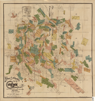
Map of the Goldfield Mining District, Nye and Esmeralda Counties, Nevada, 1905
Date
Description
Image
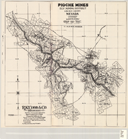
Map of Pioche mines, Ely Mining District, Lincoln County, Nevada, 1909
Date
Description
Image
