Search the Special Collections and Archives Portal
Search Results
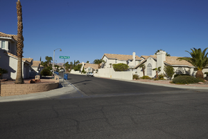
Single family housing on Hollycrest Drive near Fort Apache Road and West Sahara Avenue, looking west, Las Vegas, Nevada: digital photograph
Date
2017-10-10
Archival Collection
Description
Single family housing along Hollycrest Drive as seen from Quail Roost Way west of Fort Apache Road and south of West Sahara Avenue.
Image
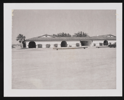
West view of Equestrian Estates Stables: photographic print
Date
1978 (year approximate)
Archival Collection
Description
From the Historic Building Survey Photograph Collection (PH-00345). Equestrian Estates Stables, west side of building, 7200 Pine Street, Las Vegas, Nevada
Image
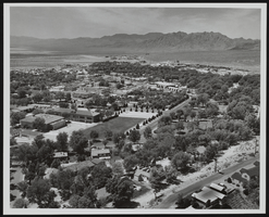
Looking west of Boulder City, Nevada: photographic print
Date
1950 (year uncertain; year approximate) to 1955 (year uncertain; year approximate)
Archival Collection
Description
From the Morgan Sweeney Photograph Collection (PH-00228). Aerial View of Boulder City, Nevada, looking west, 1950-55(?).
Image
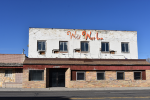
Wild West Inn wall mounted sign, Wells, Nevada
Date
2021
Archival Collection
Description
A wall mounted sign for the Wild West Inn
Image
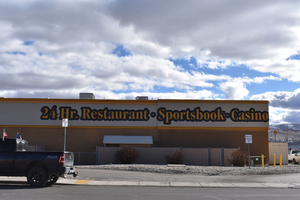
Gold Dust West wall mounted signs, Elko, Nevada
Date
2016 (year approximate) to 2020 (year approximate)
Archival Collection
Description
View of wall mounted signs for the Gold Dust West during the day with unlit neon.
1660 Mountain City Hwy, Elko, NV 89801
Gold Dust West
Image

Grass landscaping in front of Apartments on East Sahara Avenue west of South Bruce Street looking west, Las Vegas, Nevada: digital photograph
Date
2017-09-13
Archival Collection
Description
Grass landscaping separates the Sterling Sahara Apartments from the sidewalk and traffic on East Sahara Avenue, west of South Bruce Street.
Image
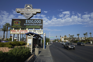
Sahara Express bus stop on West Sahara Avenue near Palace Station sign looking west, Las Vegas, Nevada: digital photograph
Date
2017-08-31
Archival Collection
Description
An RTC Sahara Express bus station is dwarfed by the multi-story Palace Station hotel and casino sign on West Sahara Drive.
Image
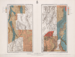
Maps of geographical surveys of parts of California, southeastern Nevada, Arizona and southwestern Utah, made under the command of George M. Wheeler, 1872-1873
Date
1872 to 1873
Description
At top of plate: 'U.S. geographical surveys west of the one-hundredth meridian. Parts of California, S.E. Nevada, Arizona & S.W. Utah.' At bottom of plate: 'Expeditions of 1872 & 1873, under the command of 1st Lieut. Geo. M. Wheeler, Corps of Engineers, U.S. Army.' 'G. K. Gilbert, A. R. Marvine, E. E. Howell, geological assistants.' 'By order of The Honorable The Secretary of War, under the direction of Brig. Gen. A. A. Humphries, Chief of Engineers, U.S. Army.' Published by Government Printing Office. 2 map sections on 1 sheet. Scale: 1 inch to 8 miles.
Image
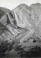
Photograph of West End Borax, Tonopah, Nevada, circa 1925
Date
1924 to 1926
Archival Collection
Description
A view of West End Borax in Tonopah, Nevada.
Image
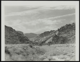
West view of the Grapevine Canyon, Laughlin, Nevada: photographic print
Date
1987 (year approximate)
Archival Collection
Description
From the Eileen Margaret Green Photograph Collection (PH-00229) -- Grapevine Canyon, view west. Handwritten on envelope, "Grapevine Canyon, view west. (from her MA thesis. A Cultural Ecological Approach to the Rock Art of Southern Nevada, GN 799 P4 G73x 1987a)". Handwritten on the back of the photograph, "Figure 2. Grapevine Canyon, view west."
Image
Pagination
Refine my results
Content Type
Creator or Contributor
Subject
Archival Collection
Digital Project
Resource Type
Year
Material Type
Place
Language
Records Classification
