Search Results
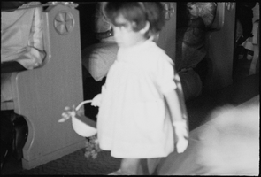
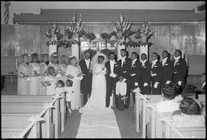
Set of photographs including Jerry Lockhart and Autherena Walton's wedding and L.H. and Dottie: image 004
Date
1967
Archival Collection
Image
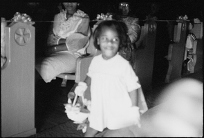
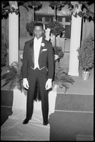
Set of photographs including Jerry Lockhart and Autherena Walton's wedding and L.H. and Dottie: image 005
Date
1967
Archival Collection
Image
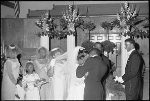
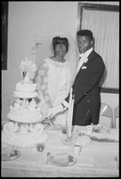
Set of photographs including Jerry Lockhart and Autherena Walton's wedding and L.H. and Dottie: image 006
Date
1967
Archival Collection
Image
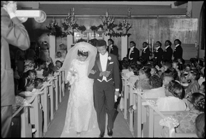
Set of photographs including Jerry Lockhart and Autherena Walton's wedding and L.H. and Dottie: image 007
Date
1967
Archival Collection
Image
Set of photographs including Jerry Lockhart and Autherena Walton's wedding and L.H. and Dottie: image 008
Date
1967
Archival Collection
Image

Set of photographs including Jerry Lockhart and Autherena Walton's wedding and L.H. and Dottie: image 009
Date
1967
Archival Collection
Image
Set of photographs including Jerry Lockhart and Autherena Walton's wedding and L.H. and Dottie: image 010
Date
1967
Archival Collection
Image
Set of photographs including Jerry Lockhart and Autherena Walton's wedding and L.H. and Dottie: image 011
Date
1967
Archival Collection
Image

Set of photographs including Jerry Lockhart and Autherena Walton's wedding and L.H. and Dottie: image 012
Date
1967
Archival Collection
Image

Set of photographs including Jerry Lockhart and Autherena Walton's wedding and L.H. and Dottie: image 013
Date
1967
Archival Collection
Image