Search Results
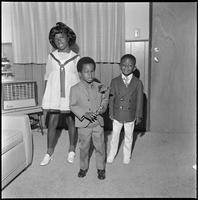
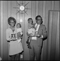
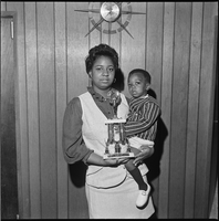
Set of photographs including family reunion, Trina & Bridget Daniels, baby contest, and Joyce Grayson: image 003
Date
1970
Archival Collection
Image
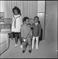
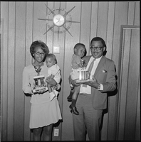
Set of photographs including family reunion, Trina & Bridget Daniels, baby contest, and Joyce Grayson: image 004
Date
1970
Archival Collection
Image

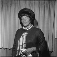
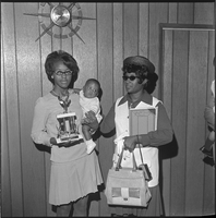
Set of photographs including family reunion, Trina & Bridget Daniels, baby contest, and Joyce Grayson: image 005
Date
1970
Archival Collection
Image
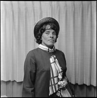
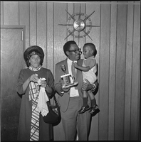
Set of photographs including family reunion, Trina & Bridget Daniels, baby contest, and Joyce Grayson: image 006
Date
1970
Archival Collection
Image
Set of photographs including family reunion, Trina & Bridget Daniels, baby contest, and Joyce Grayson: image 007
Date
1970
Archival Collection
Image
Set of photographs including family reunion, Trina & Bridget Daniels, baby contest, and Joyce Grayson: image 008
Date
1970
Archival Collection
Image
Set of photographs including family reunion, Trina & Bridget Daniels, baby contest, and Joyce Grayson: image 009
Date
1970
Archival Collection
Image
Set of photographs including family reunion, Trina & Bridget Daniels, baby contest, and Joyce Grayson: image 010
Date
1970
Archival Collection
Image
Set of photographs including family reunion, Trina & Bridget Daniels, baby contest, and Joyce Grayson: image 011
Date
1970
Archival Collection
Image
Set of photographs including family reunion, Trina & Bridget Daniels, baby contest, and Joyce Grayson: image 012
Date
1970
Archival Collection
Image