Search Results

Set of photographs including Sarann fashion show, and copy negative of serviceman: image 011
Date
1970
Archival Collection
Image

Set of photographs including Sarann fashion show, and copy negative of serviceman: image 012
Date
1970
Archival Collection
Image

Set of photographs including Sarann fashion show, and copy negative of serviceman: image 013
Date
1970
Archival Collection
Image

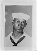
Set of photographs including Sarann fashion show, and copy negative of serviceman: image 014
Date
1970
Archival Collection
Image
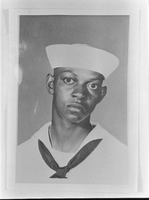
Set of photographs including Sarann fashion show, and copy negative of serviceman: image 015
Date
1970
Archival Collection
Image
Set of photographs including Sarann fashion show, and copy negative of serviceman: image 016
Date
1970
Archival Collection
Image
Set of photographs of Benjamin Brown (copy negatives)
Date
1970
Archival Collection
Description
Photographer's notations: 3-70, Copy - lawyer Benjamin Brown, Georgia legislator.
Image

Set of photographs of Benjamin Brown (copy negatives): image 001
Date
1970
Archival Collection
Image

Set of photographs of Benjamin Brown (copy negatives): image 002
Date
1970
Archival Collection
Image

Set of photographs of Benjamin Brown (copy negatives): image 003
Date
1970
Archival Collection
Image