Search Results

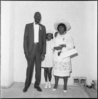
Set of photographs including portraits, Sepia beauty contestants, and Bishop Cox's birthday: image 016
Date
1967
Archival Collection
Image
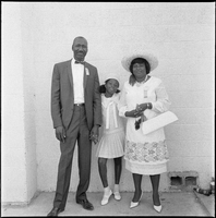
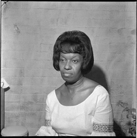
Set of photographs including portraits, Sepia beauty contestants, and Bishop Cox's birthday: image 017
Date
1967
Archival Collection
Image
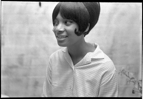
Set of photographs including portraits, Sepia beauty contestants, and Bishop Cox's birthday: image 018
Date
1967
Archival Collection
Image
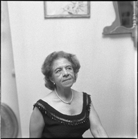
Set of photographs including portraits, Sepia beauty contestants, and Bishop Cox's birthday: image 019
Date
1967
Archival Collection
Image

Set of photographs including portraits, Sepia beauty contestants, and Bishop Cox's birthday: image 020
Date
1967
Archival Collection
Image

Set of photographs including Russell, Elder Shaw and Family, Elder Ming, Elder Wyn and Doris, Burma Slucher and Sis, Mother Porter, and Lord's Supper Committee
Date
1967
Archival Collection
Description
Photographer's notations: XI-5 During Convocation June 1967, Russell, Elder Shaw & Family, Elder Ming, Elder Wyn & Doris, Burma Slucher & Sis with Coleman, Mother Porter, Lord's Supper Committee.
Image