Search Results
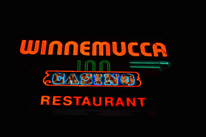
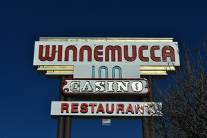
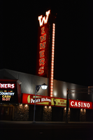
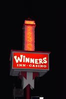
Winners Inn Casino wall mounted signs, Winnemucca, Nevada
Date
2016 (year approximate) to 2020 (year approximate)
Archival Collection
Description
Views of the Winners Inn Casino's wall mounted signs during the day and at night.
185 W Winnemucca Blvd, Winnemucca, NV 89445
Winners Inn
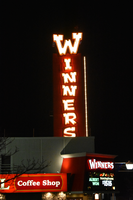
Image

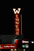

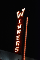

Winners Inn Casino parking sign, Winnemucca, Nevada
Date
2016 (year approximate) to 2020 (year approximate)
Archival Collection
Description
Views of the parking sign for the Winners Inn Casino during the day and at night.
185 W Winnemucca Blvd, Winnemucca, NV 89445
Winners Inn
Image