Search Results
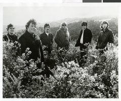
Photograph of the band West standing outdoors, circa 1968
Date
Archival Collection
Description
Image
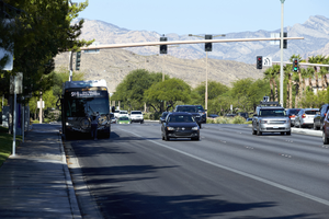
Bus stop on West Sahara Avenue looking west, Las Vegas, Nevada: digital photograph
Date
Archival Collection
Description
Image
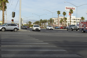
Traffic on West Sahara Avenue at Decatur Boulevard looking west, Las Vegas, Nevada: digital photograph
Date
Archival Collection
Description
Image
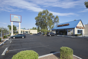
Commercial development on West Sahara Avenue west of Jones Boulevard, looking west, Las Vegas, Nevada, 2017 September 20
Level of Description
Archival Collection
Collection Name: UNLV University Libraries Photographs of the Development of the Las Vegas Valley, Nevada
Box/Folder: N/A
Archival Component
Moneytree on West Sahara Avenue at Richfield Boulevard looking west, Las Vegas, Nevada: digital photograph
Date
Archival Collection
Description
Image
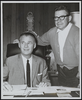
Jim West: photographs
Date
Archival Collection
Description
Series X. Employees
Mixed Content
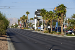
Auto dealerships along West Sahara Avenue, looking west, Las Vegas, Nevada: digital photograph
Date
Archival Collection
Description
Image
Carmen and Kelcey West oral history interview
Identifier
Abstract
Oral history interview with Carmen and Kelcey West conducted by Jennifer Kean and Niles Johnson on April 01, 2016 for the African Americans in Las Vegas: a Collaborative Oral History Project. In this interview, Kelcey discusses his upbringing in the Baptist church and becoming a pastor for Nehemiah Ministries Church. He then recalls his education experience at the University of Nevada, Las Vegas, how he learned about the many different ministries of the church, and describes how his church is organized. Kelcey explains his involvement with Churches of Southern Nevada and sponsoring Unity Through Knowledge, a tour of Historical Black Colleges and Universities. Later, Carmen discusses her role as a pastor’s wife and as a first lady at Nehemiah Ministries Church. Lastly, she describes organizing church events and the work she does as first lady.
Archival Collection
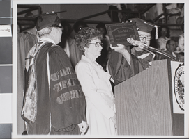
Photograph of Helen West, Las Vegas, circa late 1970s
Date
Archival Collection
Description
The first recipient of the UNLV Distinguished Service Award, Helen West, receiving the award.
Image