Search the Special Collections and Archives Portal
Search Results

Pedestrians walk on sidewalk on East Sahara Avenue looking west, Las Vegas, Nevada: digital photograph
Date
2017-09-12
Archival Collection
Description
Pedestrians walk along East Sahara Avenue west of Maryland Parkway.
Image
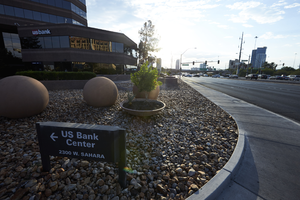
US Bank Center on West Sahara Avenue at Rancho Drive, Las Vegas, Nevada: digital photograph
Date
2017-08-31
Archival Collection
Description
The US Bank Center at the corner of Rancho Drive and West Sahara Avenue.
Image
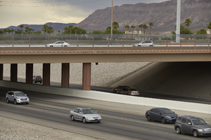
I-215 The Beltway flows beneath West Sahara Avenue overpass, Las Vegas, Nevada: digital photograph
Date
2017-08-23
Archival Collection
Description
Traffic flows on I-215 The Beltway below the West Sahara Avenue overpass.
Image
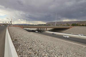
I-215 The Beltway flows beneath West Sahara Avenue overpass, Las Vegas, Nevada: digital photograph
Date
2017-08-23
Archival Collection
Description
Traffic flows on I-215 The Beltway below the West Sahara Avenue overpass.
Image
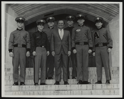
Howard Cannon meets with West Point cadets: photographic print and correspondence
Date
1980-06-05
Archival Collection
Description
From the Howard Cannon Photograph Collection (PH-00192)
Mixed Content
Set of photographs including Dr. West receiving Brotherhood Award, NLV Domo Institute Banquet, family, Kappa silhouettes at Ray Fords
Date
1966
Archival Collection
Description
Photographer's notations: Dr. West Receives Brotherhood Award, '66, NLV Domo Inst. Banquet, '66, Family - Kappa silhouettes at Ray Fords.
Image
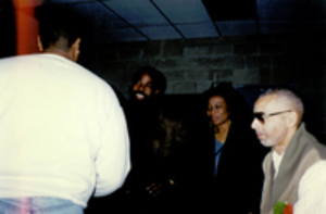
Photograph of Debbie Conway (center) at the First West Las Vegas Job Fair, circa 1996
Date
1996 (year approximate)
Archival Collection
Description
Debbie Conway is pictured with Les Brown and Ramon Savoy. The First West Las Vegas Job Fair was held on the grounds of the Vons' Shopping Center now known as the Edmond Center.
Image

Traffic on West Sahara Avenue at Grand Canyon Drive, looking east, Las Vegas, Nevada: digital photograph
Date
2017-10-10
Archival Collection
Description
Traffic flows along West Sahara Avenue at Grand Canyon Drive. The Sahara West Library can be see in the distance.
Image
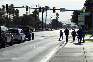
Pedestrians cross West Sahara Avenue at South Lake Sahara Drive, Las Vegas, Nevada: digital photograph
Date
2017-08-29
Archival Collection
Description
Pedestrians cross West Sahara Avenue at South Lake Sahara Drive one block west of South Durango Drive.
Image
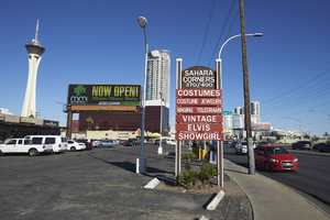
West Sahara Avenue at North Bridge Street, looking east, Las Vegas, Nevada: digital photograph
Date
2017-10-06
Archival Collection
Description
Signs and commercial development along West Sahara Avenue at North Bridge Street.
Image
Pagination
Refine my results
Content Type
Creator or Contributor
Subject
Archival Collection
Digital Project
Resource Type
Year
Material Type
Place
Language
Records Classification
