Search the Special Collections and Archives Portal
Search Results
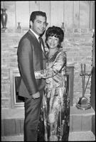
Set of photographs including John West's birthday party, Leonard Mason, and Mr. Richard David: image 002
Date
Archival Collection
Image

West side of Spring Mountain Range, Nevada: photographic print
Date
Archival Collection
Description
Image
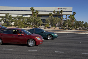
NV Energy Building on West Sahara Avenue, looking north, Las Vegas, Nevada: digital photograph
Date
Archival Collection
Description
Image
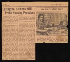
Housing Authority of Williamson, West Virginia: scrapbook, work notes, correspondence, and newspaper clippings
Date
Archival Collection
Description
Folder of materials from the Mabel Hoggard Papers (MS-00565) -- Civic engagement file. Includes a scrapbook, work notes, correspondence, and newspaper clippings related to Mabel Hoggard's employment at the Housing Authority of Williamson, West Virginia.
Mixed Content
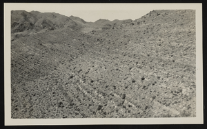
View of white beds, and west view of Desert Range, Nevada: photographic print
Date
Archival Collection
Description
Image
Memorandum: Opening of the Las Vegas Mountain West office, 1988 November
Level of Description
Archival Collection
Collection Name: Mountain West's Yucca Mountain Socioeconomic Project Records
Box/Folder: Box 02
Archival Component
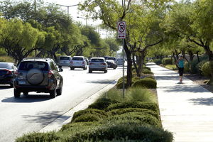
Jogger using sidewalks along West Sahara Avenue, Las Vegas, Nevada: digital photograph
Date
Archival Collection
Description
Image
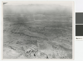
Aerial photograph of North Las Vegas looking west towards Mount Charleston, 1968
Date
Archival Collection
Description
Aerial view of North Las Vegas looking west with North Las Vegas Airport in the distance. The plane is directly over what is now I-15 and Cheyenne. In the foreground is a water tank where there are now many tanks.
Transcribed Notes: Handwritten on back: "Street Dept - Brooks, Cheyenne Area - 1968, looking west"
Image
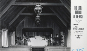
Postcard showing the Little Church of the West in Last Frontier Village, Las Vegas, circa 1940s
Date
Archival Collection
Description
Image
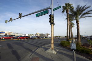
West Sahara Avenue and Decatur Boulevard looking northwest, Las Vegas, Nevada: digital photograph
Date
Archival Collection
Description
Image
