Search the Special Collections and Archives Portal
Search Results
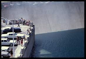
People along the observation deck watch water spill over the Arizona spillway, looking southeast at Hoover Dam, Arizona: photographic slide
Date
Archival Collection
Description
Image
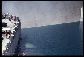
People along the observation deck watch water spill over the Arizona spillway, looking southeast at Hoover Dam, Arizona: photographic slide
Date
Archival Collection
Description
Image
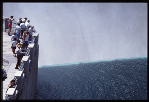
People along the observation deck watch water spill over the Arizona spillway, looking southeast at Hoover Dam, Arizona: photographic slide
Date
Archival Collection
Description
Image
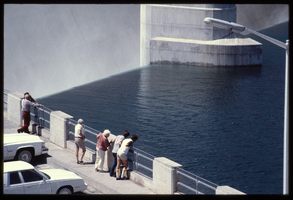
People along the observation deck watch water spill over the Arizona spillway, looking southeast at Hoover Dam, Arizona: photographic slide
Date
Archival Collection
Description
Image
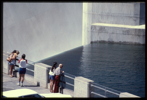
People along the observation deck watch water spill over the Arizona spillway, looking southeast at Hoover Dam, Arizona: photographic slide
Date
Archival Collection
Description
Image
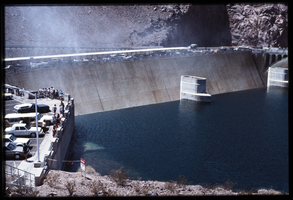
People along the observation deck watch water spill over the Arizona spillway, looking southeast at Hoover Dam, Arizona: photographic slide
Date
Archival Collection
Description
Image
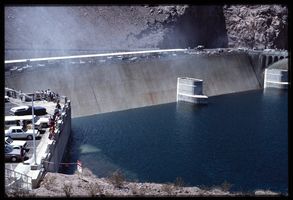
People along the observation deck watch water spill over the Arizona spillway, looking southeast at Hoover Dam, Arizona: photographic slide
Date
Archival Collection
Description
Image

Piping plan for water and drainage for Union Pacific Railroad clubhouse in Caliente, Nevada: architectural drawing
Date
Archival Collection
Description
From Union Pacific Railroad Collection (MS-00397).The scales are noted in the drawing. The drawing states, "Basement Floor Plan." Near the bottom it says, "Gilbert Stanley Underwood and Co. Architects & Engineers. 730 So. Los Angeles St. Los Angeles Calif. Dr By Albert. Tr By. Ch By Albert. Piping Plan For Water And Drainage. File No. 15684-P. Sheet #16. Job # 399. Date 8-10-27. A Club House For The Union Pacific System, Caliente, Nevada."
Image
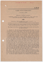
Assembly Bill 6: An act to validate all acts and proceedings of the Las Vegas Valley Water District for the authorization, issuance and sale of bonds of said district, January 6, 1954
Date
Archival Collection
Description
A bill to validate the acts and proceedings of the Las Vegas Valley Water District for authorization, issuance, and sale of bonds.
Text

Map showing ground-water chemistry and hydrochemical facies, Nevada Test Site and vicinity, southern Nevada, 1965
Date
Description
712-C. Issued as plate 3 from U.S. Geological Survey professional paper 712-C, Hydrogeologic and hydrochemical framework, south-central Great Basin, Nevada-California, with special reference to the Nevada Test Site, by I.J. Winograd, and William Thordarson, published in 1975 by the U.S. Geological Survey.
Image
