Search the Special Collections and Archives Portal
Search Results

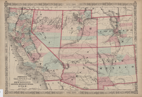
Map of California, territories of New Mexico, Arizona, Colorado, Nevada and Utah, circa 1863
Date
Description
Image

Chart, Comparative statement of water produced at Las Vegas for June and July in years between 1931 and 1938, June 9, 1938
Date
Archival Collection
Description
Water production from five months between 1931 and 1938
Text

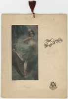
New Year's Eve 1913, dinner menu, Brigham's Hotel and Cafe
Date
Archival Collection
Description
Text

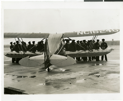
Photograph of police in readiness for arrival of Howard Hughes' plane at Floyd Bennett Airport, New York, July 14, 1938
Date
Archival Collection
Description
Image
Howard Hughes leaves Newark, New Jersey Airport with party en route to Washington, D.C., 1938 July 21
Level of Description
Archival Collection
Archival Component
Howard Hughes, Tom Thurlow, Harry Connor, Richard Stoddart, and Dale Powers in New York, 1938 July 04
Level of Description
Archival Collection
Archival Component
Howard Hughes at the controls of plane before leaving Glendale, California, on a nonstop flight to New York, 1938 August 20
Level of Description
Archival Collection
Archival Component
Howard Hughes's around-the-world flight photographs, 1938
Level of Description
Scope and Contents
Materials depict the celebrations of Howard Hughes's circumnavigation flight in 1938. Along with a crew consisting of Harry Connor, Tom Thurlow, Richard Stoddart, and Ed Lund, Hughes flew the Super Electra on a global circumnavigation flight. On July 10, 1938, Hughes and the crew departed Floyd Bennett Field in New York and flew to Paris, France, Moscow, Russia, Omsk, Russia, Yakutsk, Russia, Fairbanks, Alaska, and Minneapolis, Minnesota before landing back in New York on July 14. The photographs primarily depict the parades thrown for Hughes after completion of the flight. The photographs also depict Hughes and his crew meeting with New York City Mayor Fiorello La Guardia at New York City Hall, the National Press Association, and crowds of onlookers who attended the plane's landings in various cities.
Archival Collection
Archival Component
Series I. Publications, 1938-1984
Level of Description
Scope and Contents
The Publications series dates from 1938 to 1984 and contains published works by Joanne de Longchamps, as well as poetry magazines in which she made notes on poems by other authors. It includes photocopies of her published poems, journals, anthologies, and books.
Archival Collection
Archival Component
