Search the Special Collections and Archives Portal
Search Results
Children dressed up in costumes, possibly for the 4th of July at City Hall in Boulder City, Nevada, undated
Level of Description
File
Archival Collection
L. F. Manis Photograph Collection
To request this item in person:
Collection Number: PH-00100
Collection Name: L. F. Manis Photograph Collection
Box/Folder: Folder 67
Collection Name: L. F. Manis Photograph Collection
Box/Folder: Folder 67
Archival Component

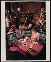
Restaurant in the Showboat Casino, Atlantic City, New Jersey: photographic print
Date
1986
Archival Collection
Description
From the Showboat Atlantic City Photograph Collection (PH-00329).
Image

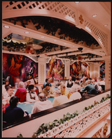
Gamblers in the Showboat Casino, Atlantic City, New Jersey: photographic print
Date
1986
Archival Collection
Description
From the Showboat Atlantic City Photograph Collection (PH-00329).
Image

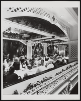
Gamblers in the Showboat Casino, Atlantic City, New Jersey: photographic print
Date
1986
Archival Collection
Description
From the Showboat Atlantic City Photograph Collection (PH-00329).
Image
Pagination
Refine my results
Content Type
Creator or Contributor
Subject
Archival Collection
Digital Project
Resource Type
Year
Material Type
Place
Language
Records Classification
