Search the Special Collections and Archives Portal
Search Results
North Las Vegas Libriary under construction and City Hall, Civic Center Drive, 1965
Level of Description
Archival Collection
Collection Name: North Las Vegas Library Photograph Collection on North Las Vegas, Nevada
Box/Folder: Folder 04
Archival Component

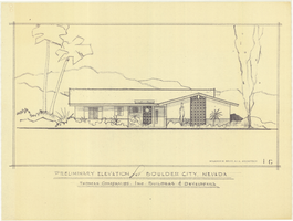
Architectural drawing of residential home in Boulder City, Nevada, preliminary elevation, 1962
Date
Archival Collection
Description
Preliminary drawing of front exterior elevation of ranch-style residential home in Boulder City, Nevada.
Architecture Period: Mid-Century ModernistImage
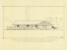
Architectural drawing of residential home in Boulder City, Nevada, preliminary elevation, 1962
Date
Archival Collection
Description
Preliminary drawing of front exterior elevation of a ranch-style residential home in Boulder City, Nevada.
Architecture Period: Mid-Century ModernistImage
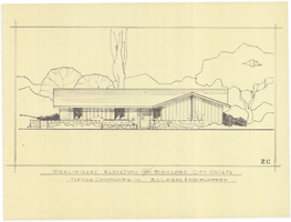
Architectural drawing of residential home in Boulder City, Nevada, preliminary elevation, 1962
Date
Archival Collection
Description
Preliminary drawing of front exterior elevation of a ranch-style residential home in Boulder City, Nevada.
Architecture Period: Mid-Century ModernistImage
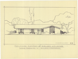
Architectural drawing of residential home in Boulder City, Nevada, preliminary elevation, 1962
Date
Archival Collection
Description
Preliminary drawing of front exterior elevation of a ranch-style residential home in Boulder City, Nevada.
Architecture Period: Mid-Century ModernistImage
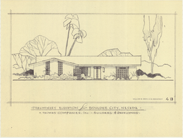
Architectural drawing of residential home in Boulder City, Nevada, preliminary elevation, 1962
Date
Archival Collection
Description
Preliminary drawing of front exterior elevation of a ranch-style residential home in Boulder City, Nevada.
Architecture Period: Mid-Century ModernistImage
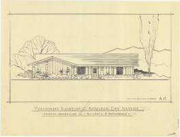
Architectural drawing of residential home in Boulder City, Nevada, preliminary elevation, 1962
Date
Archival Collection
Description
Preliminary drawing of front exterior elevation of a ranch-style residential home in Boulder City, Nevada.
Architecture Period: Mid-Century ModernistImage
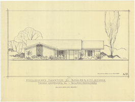
Architectural drawing of residential home in Boulder City, Nevada, preliminary elevation, 1962
Date
Archival Collection
Description
Preliminary drawing of front exterior elevation of a ranch-style residential home in Boulder City, Nevada.
Architecture Period: Mid-Century ModernistImage
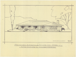
Architectural drawing of residential home in Boulder City, Nevada, preliminary elevation, 1962
Date
Archival Collection
Description
Preliminary drawing of front exterior elevation of a ranch-style residential home in Boulder City, Nevada.
Architecture Period: Mid-Century ModernistImage
