Search Results
Crowd at a parade celebrating the completion of Howard Hughes's around-the-world flight, 1938 July 15
Level of Description
Archival Collection
Collection Name: Howard Hughes Public Relations Photograph Collection
Box/Folder: Folder 11
Archival Component
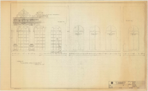
Hall and Mirrors
Date
Archival Collection
Description
Series II. Folies-Bergere production papers, designs, and photographs -- 15th Edition partial revision -- Set design drawings by Charles Lisanby
Image

Photograph of Don Schuyler, Sr. and Freda (Humphrey) Schuyler in front of their home, Boulder City, Nevada, 1938
Date
Archival Collection
Description
Image
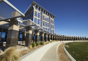
Exterior view of the North Las Vegas City Hall building, looking northeast in North Las Vegas, Nevada: digital photograph
Date
Archival Collection
Description
From the UNLV University Libraries Photographs of the Development of the Las Vegas Valley, Nevada (PH-00394). Part of the collection documents the entire 19 mile length of the north/south Eastern Avenue / Civic Center Drive alignment. This photograph was captured in the section of Civic Center Drive between Las Vegas Boulevard and Lake Mead Boulevard.
Image
#70747: Hospitality student Melinda Stewart at the Hospitality Hall construction site on March 15, 2016., 2016 March 15
Level of Description
Archival Collection
Collection Name: University of Nevada, Las Vegas Creative Services Records (2010s)
Box/Folder: Digital File 00
Archival Component
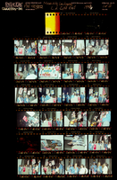
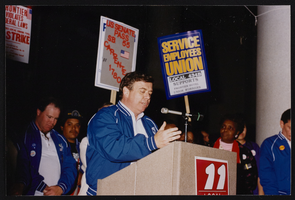
March to Los Angeles: L.A. City Hall, Culinary Union, 1992 (folder 1 of 1), image 1
Date
Description
Image
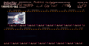
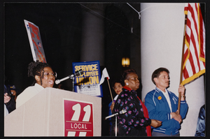
March to Los Angeles: L.A. City Hall, Culinary Union, 1992 (folder 1 of 1), image 2
Date
Description
Image
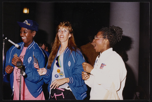
March to Los Angeles: L.A. City Hall, Culinary Union, 1992 (folder 1 of 1), image 3
Date
Description
Image
March to Los Angeles: L.A. City Hall, Culinary Union, 1992 (folder 1 of 1), image 4
Date
Description
Image
March to Los Angeles: L.A. City Hall, Culinary Union, 1992 (folder 1 of 1), image 5
Date
Description
Image