Search Results
Tuff Pile 1 - a Justification of the Projection of Material Properties within a portion of Los Alamos Test Areas 1, 2, 3, 4, and 7 - Nevada Test Site, 1983 November 23
Level of Description
Archival Collection
Collection Name: David Donovan Collection on Hydrology and Geology
Box/Folder: Box 14
Archival Component
Conceptual Evaluation of Regional Ground-Water Flow in the Carbonate-Rock Province of the Great Basin, Nevada, Utah, and Adjacent States, Regional Aquifer-System Analysis, 1995
Level of Description
Archival Collection
Collection Name: David Donovan Collection on Hydrology and Geology
Box/Folder: Box 33
Archival Component
Cost/Value Study of Pump Water Farms Development Under the Desert Land Entry Act/Carey Act, appraisal report, 1992 February 20
Level of Description
Archival Collection
Collection Name: David Donovan Collection on Hydrology and Geology
Box/Folder: Box 25
Archival Component
Las Vegas Valley Water District Water Well Construction and Aquifer Testing, Las Vegas Water District Department of Research, 1991 April 16
Level of Description
Archival Collection
Collection Name: David Donovan Collection on Hydrology and Geology
Box/Folder: Box 39
Archival Component
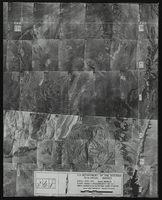
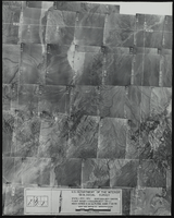
Aerial view of the Bonelli quadrant in Arizona-Nevada: photographic print
Date
Archival Collection
Description
Image
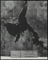
Aerial view of the Bonelli quadrant in Arizona-Nevada: photographic print
Date
Archival Collection
Description
Image
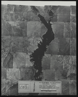
Aerial view of the Bonelli quadrant in Arizona-Nevada: photographic print
Date
Archival Collection
Description
Image
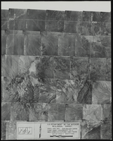
Aerial view of the Boulder Canyon quadrant in Arizona-Nevada: photographic print
Date
Archival Collection
Description
Image
Aerial view of the Boulder Canyon quadrant in Arizona-Nevada: photographic print
Date
Archival Collection
Description
Image
Spurr, Josiah Edward, 1870-1950
Josiah Edward Spurr (1870-1950) was born into a family of fishermen in Gloucester, Massachusetts. He received his Master's degree in geology from Harvard University in 1894 and was appointed to the United States Geological Survey (USGS) the same year. In 1896, Spurr was sent, with two other USGS geologists, to survey the Alaskan interior. This historically important expedition was followed in 1898 by an equally important journey down the 702 mile-long Kuskokwim River, surveying previously uncharted mountains, lakes, volcanoes and glaciers.
Person