Search the Special Collections and Archives Portal
Search Results
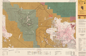
Map of Las Vegas, Nevada and surrounding Bureau of Land Management areas to the west and north, 1994
Date
1994
Description
'BLM edition, 1994.' 'Surface management status; mineral management status.' '1:100,000-scale topographic map showing highways, roads and other manmade structures; water features; contours and elevations in meters with conversions to feet; BLM recreation sites.' 'Edited and published by the Bureau of Land Management. Base map prepared by the U.S. Geological Survey.' I53:11/4-2
Text
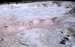
Slide of mud pots at Yellowstone National Park, circa 1970s to 1980s
Date
1970 to 1989
Archival Collection
Description
Fountain Paint Pot at Yellowstone. Site Name: Yellowstone National Park
Image
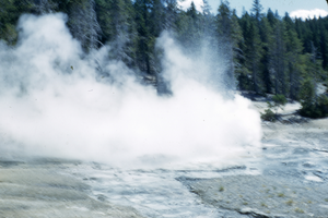
Slide of Minute Geyser at Yellowstone National Park, circa 1970s to 1980s
Date
1970 to 1989
Archival Collection
Description
Minute Geyser at Yellowstone Park. Site Name: Yellowstone National Park
Image
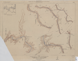
Map of plan and profile of Colorado River from Lees Ferry, Arizona to Black Canyon, Arizona-Nevada and Virgin River, Nevada, 1924
Date
1924
Archival Collection
Description
1 map in 21 sheets (14 plans, 7 profiles): col. ; 46 x 64 cm. Notes Relief shown by contours. Each sheet includes a key map. Surveys for individual sheets conducted 1919-23. Library has: Sheets I (2 copies), J, K, L, M, and N only. "Contour interval on land 50 feet." "Contour interval on river surface 5 feet." "Datum is mean sea level." "Mileage is measured from U. S. G. S. concrete gauge well opposite mouth of Paria River." "Topography by U. S. Reclamation Service." "Surveyed in 1919-23." Original publisher: U.S. Geological Survey, Scale: 1: 81,680.
Image
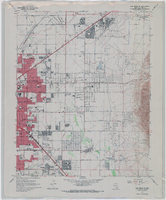
Topographic map of the northeast quadrangle of the metropolitan Las Vegas, Nevada area, 1967
Date
1967
Description
Scale 1:24,000 ; polyconic proj. (W 115°730--W 115°0000/N 36°1500--N 36°730) ; 1 map : col. ; 58 x 47 cm ; 7.5 minute series (topographic) ; Relief shown by contours and spot heights ; Filing title: Las Vegas NE, Nev ; "AMS 2956 II NE--Series V896." ; Contour interval 20 feet ; "Topography by photogrammetric methods from aerial photographs taken 1965. Field checked 1967." ;Includes quadrangle location map ; Interior--Geological Survey
Image
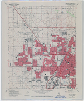
Topographic map of the northwest quadrangle of the metropolitan Las Vegas, Nevada area, 1967
Date
1967
Description
Scale 1:24,000 ; polyconic proj. (W 115°1500--W 115°730/N 36°1500--N 36°730) ; 1 map : col. ; 58 x 47 cm ; 7.5 minute series (topographic) ; Relief shown by contours and spot heights ; Filing title: Las Vegas NW, Nev ; "AMS 2956 II NW--Series V896." ; Contour interval 10 feet ; "Topography by photogrammetric methods from aerial photographs taken 1965. Field checked 1967." ; Includes quadrangle location map ; Interior--Geological Survey
Image
Pagination
Refine my results
Content Type
Creator or Contributor
Subject
Archival Collection
Digital Project
Resource Type
Year
Material Type
Place
Language
Records Classification

