Search the Special Collections and Archives Portal
Search Results
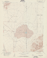
Topographic map of Frenchman Flat quadrangle, Nevada, 1960
Date
Description
For sale by the U.S. Geological Survey
Image

Map showing ground-water chemistry and hydrochemical facies, Nevada Test Site and vicinity, southern Nevada, 1965
Date
Description
712-C. Issued as plate 3 from U.S. Geological Survey professional paper 712-C, Hydrogeologic and hydrochemical framework, south-central Great Basin, Nevada-California, with special reference to the Nevada Test Site, by I.J. Winograd, and William Thordarson, published in 1975 by the U.S. Geological Survey.
Image
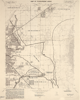
Maps of flood-prone areas in Las Vegas, Nevada, 1973
Date
Description
Image
Loux, R. 2000. State of Nevada Comments on the U.S. Department of Energy's Draft Environmental Impact Statement for a Geologic Repository for the Disposal of Spent Nuclear Fuel and High-Level Radioactive Waste at Yucca Mountain, Nye County, Nevada: Volume 1, Appendix 1- Radioactivity, Stigma, and Socioeconomic Impacts: The Need for an Assessment Impacts on Nevada's Principal Economic Sectors in the U.S. Department of Energy's Yucca Mountain Draft Environmental Impact Statement. Carson City, Nevada: State of Nevada. Office of the Governor, Agency for Nuclear Projects, 2000
Level of Description
Archival Collection
Collection Name: Environmental Radiation Protection Standards for Yucca Mountain, Nevada
Box/Folder: Box 39
Archival Component
John C. Kepper Faculty Papers
Identifier
Abstract
The John C. Kepper Faculty Papers (approximately 1966-1977) are comprised of articles and research on geology written by University of Nevada, Las Vegas (UNLV) faculty member, John C. Kepper. The collection also includes drafts and notes of the manuscripts,
Archival Collection
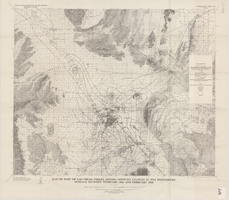
Map of part of Las Vegas Valley, Nevada, showing changes in the piezometric surface between February 1944 and February 1956
Date
Description
Image
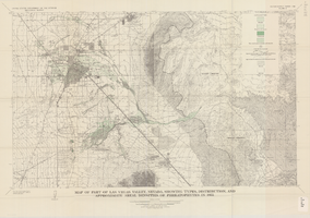
Map of part of Las Vegas Valley, Nevada, showing types, distribution, and approximate areal densities of phreatophytes in 1955
Date
Description
Image
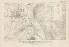
Map of part of Las Vegas Valley, Nevada, showing approximate area of phreatophytes before ground-water development
Date
Description
Image
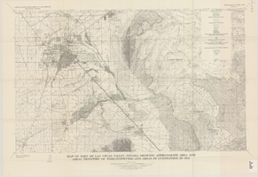
Map of part of Las Vegas Valley, Nevada, showing approximate area and areal densities of phreatophytes and areas in cultivation in 1912
Date
Description
Image
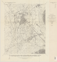
Map of part of Las Vegas Valley, Nevada, showing the approximate altitude of the water table in the near-surface reservoir in February 1956
Date
Description
Image
