Search the Special Collections and Archives Portal

Search Results

Display    Results Per Page
Displaying results 31 - 40 of 2340

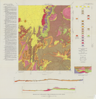
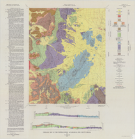
Geologic map of the Topopah Spring quadrangle, Nye County, Nevada, 1970

Date

1970

Description

58 x 46 cm., on sheet 84 x 88 cm., folded in envelope 30 x 24 cm. Relief shown by contours and spot heights. "Geology mapped in 1962-63." Includes description of map units, colored columnar section, 3 colored cross sections, and quadrangle location map. "Prepared in cooperation with the U. S. Atomic Commission." Original publisher: Interior, Geological Survey, Series: Geologic quadrangle map GQ, Scale: 1:24 000.

Image

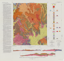
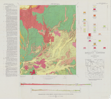
Geologic map of the Buckboard Mesa quadrangle, Nye County, Nevada, 1966

Date

1966

Description

58 x 46 cm., on sheet 87 x 91 cm., folded in envelope 30 x 24 cm. Relief shown by contours and spot heights. "Contour interval 20 feet." "Prepared in cooperation with the U.S. Atomic Energy Commission." "Geology mapped in 1962-63." Includes text, 2 col. cross sections, and 2 index maps. Original publisher: U.S. Geological Survey, Series: Geologic quadrangle map GQ, Scale: 1:24 000.

Image

Geology, 1949-1963

Level of Description

File

Archival Collection

Las Vegas Library Regional History Files Collection
To request this item in person:
Collection Number: MS-00809
Collection Name: Las Vegas Library Regional History Files Collection
Box/Folder: Box 10

Archival Component

Geology, 1972-1973

Level of Description

File

Archival Collection

North Las Vegas Library District Collection on Nevada
To request this item in person:
Collection Number: MS-00651
Collection Name: North Las Vegas Library District Collection on Nevada
Box/Folder: Box 09

Archival Component

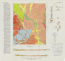
Geologic map of the Belted Peak quadrangle, Nye County, Nevada, 1967

Date

1967

Description

45 x 36 cm., on sheet 64 x 89 cm., fold. in envelope 30 x 24 cm. Relief shown by contours and spot heights. "Contour interval 40 feet." "Prepared in cooperation with the U.S. Atomic Energy Commission." "Geology mapped in 1962-63." Includes text, 2 col. cross sections, and quadrangle location map. Original publisher: U.S. Geological Survey, Series: Geologic quadrangle map GQ, Scale: 1:62 500.

Image

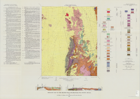
Geologic map of the Tippipah Spring quadrangle, Nye County, Nevada, 1963

Date

1963

Description

58 x 46 cm., on sheet 84 x 81 cm., folded in envelope 30 x 24 cm. Relief shown by contours and spot heights. "Geology by P.P. Orkild, 1959-60, paleotopography by D.L. Healey and C.H. Miller, 1959-60." Series statement from envelope. Includes description of map units, 2 col. cross sections, and quadrangle location map. "Prepared in cooperation with the U. S. Atomic Commission." Original publisher: Interior, Geological Survey, Series: Geologic quadrangle map GQ, Scale: 1:24 000.

Image

General geological papers, approximately 1919 to 1951

Level of Description

Series

Scope and Contents

The Franklin M. Murphy General Geological Papers (1919-1951) contain university grades, thesis, and other papers written by Murphy. Also included are proposals, correspondence, newspaper clippings, maps, notes, and geological findings relating to mining and water.

Archival Collection

Franklin M. Murphy Geological Papers
To request this item in person:
Collection Number: MS-00202
Collection Name: Franklin M. Murphy Geological Papers
Box/Folder: N/A

Archival Component
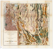
Geological reconnaissance map of Nevada south of the 40th parallel and adjacent California, 1903

Date

1903

Description

'Compiled from all available information by J.E. Spurr. Topographic base chiefly adapted from the maps of the Wheeler Survey.' 'U.S. Geological Survey, Bulletin No. 208, Pl. 1.' 'A. Hoen & Co. Lith. Baltimore, MD.' Relief shown by hachures and spot heights. Scale [ca. 1:950,000. 1 inch to approximately 15 miles] (W 120°--W 114°/N 40°--N 36°). Geological Survey bulletin, 208.

Image

Geologic map of the Dead Horse Flat quadrangle, Nye County, Nevada, 1967

Date

1967

Description

58 x 46 cm., on sheet 77 x 84 cm., folded in envelope 30 x 24 cm. Relief shown by contours and spot heights. "Base by U.S. Geological Survey, 1960." "Geology mapped in 1962-64." "Contour interval 20 feet." Includes 2 col. cross sections, quadrangle location map, and text. "Prepared in cooperation with the U. S. Atomic Commission." Original publisher: Interior, Geological Survey, Series: Geologic quadrangle map GQ, Scale: 1:24 000.

Image

Series I. Geological field notes, 1919 to 1971

Level of Description

Series

Scope and Contents

The geological field notes series (1919-1971) consists of observations, sketches, and measurements taken by Chester Longwell on geological field trips, primarily in southern Nevada but also throughout the United States, the United Kingdom, South Africa, and Australia.

Archival Collection

Chester R. Longwell Professional Papers
To request this item in person:
Collection Number: MS-00017
Collection Name: Chester R. Longwell Professional Papers
Box/Folder: N/A

Archival Component