Search the Special Collections and Archives Portal
Search Results
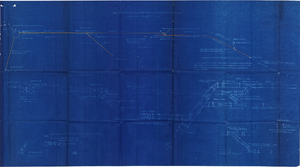
Plan of proposed new well pipe and fittings for Las Vegas, Nevada, 1936
Date
Archival Collection
Description
Image
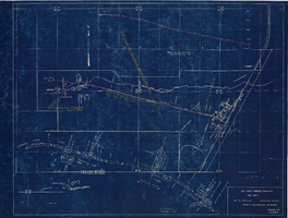
Map showing profile of 24-inch cast iron water pipeline for Las Vegas, Nevada, May 20, 1930
Date
Archival Collection
Description
Image
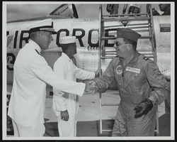
Rear Admiral F. J. Brush greets Howard Cannon immediately following his landing at Naval Station Mayport, Jacksonville, Florida: photographic print
Date
Archival Collection
Description
Image
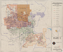
Map showing plan for water quality management update for wastewater collection systems in the Las Vegas Valley, February 20, 1997
Date
Description
Image
XF-11 plane's second flight immediately following take-off at the Hughes Airport in Culver City, California, 1947 April 04
Level of Description
Archival Collection
Collection Name: Howard Hughes Professional and Aeronautical Photographs
Box/Folder: Folder 07
Archival Component
Status of Virgin River Chub and Other Fishes of the Muddy River Following 1995 Invasion of Blue Tilapia in Warm Springs Area, 2004
Level of Description
Archival Collection
Collection Name: Jeff Van Ee Papers
Box/Folder: Box 05
Archival Component
Old Mormon and 49er road which followed the Spanish Trail. Looking west from Immigrant (sic) Pass, October 1967
Level of Description
Archival Collection
Collection Name: Sherwin "Scoop" Garside Papers
Box/Folder: Box 01
Archival Component
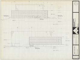
Architectural drawing of Performing Arts Center, Phase II, University of Nevada, Las Vegas, exterior elevations, July 31, 1974
Date
Archival Collection
Description
East and south exterior elevations of Performing Arts Center (later to become the Judy Bayley Theatre), University of Nevada, Las Vegas. Scale: 1/8" = 1'-0". "Drawn by J.A.L. Checked by O.D.S. Job no. 720. Date 7-31-74." "Sheet A-7 of 28."
Site Name: University of Nevada, Las Vegas
Address: 4505 S. Maryland Parkway
Image
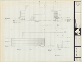
Architectural drawing of Performing Arts Center, Phase II, University of Nevada, Las Vegas, exterior elevations, July 31, 1974
Date
Archival Collection
Description
West and north exterior elevations of Performing Arts Center (later to become the Judy Bayley Theatre), University of Nevada, Las Vegas. Scale: 1/8" = 1'-0". "Sheet A-8 of 28." "Drawn by J.A.L. Checked by O.D.S. Job no. 720. Date 7-31-74."
Site Name: University of Nevada, Las Vegas
Address: 4505 S. Maryland Parkway
Image
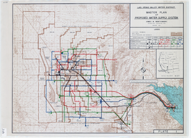
Topographic map of master plan for proposed water supply system for Las Vegas Valley Water District, August 1960
Date
Description
Image
