Search the Special Collections and Archives Portal
Search Results
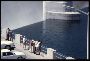
People along the observation deck watch water spill over the Arizona spillway, looking southeast at Hoover Dam, Arizona: photographic slide
Date
Archival Collection
Description
Image
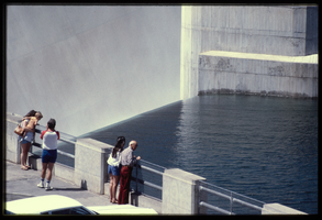
People along the observation deck watch water spill over the Arizona spillway, looking southeast at Hoover Dam, Arizona: photographic slide
Date
Archival Collection
Description
Image
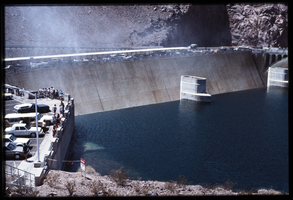
People along the observation deck watch water spill over the Arizona spillway, looking southeast at Hoover Dam, Arizona: photographic slide
Date
Archival Collection
Description
Image
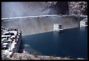
People along the observation deck watch water spill over the Arizona spillway, looking southeast at Hoover Dam, Arizona: photographic slide
Date
Archival Collection
Description
Image
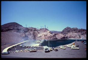
Recreational vehicles and automobiles sit in the parking lot as seen from above the Arizona spillway, looking south at Hoover Dam, Arizona: photographic slide
Date
Archival Collection
Description
Image
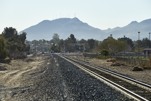
Railroad tracks lead towards Black Mountain off Eastern Avenue north of Warm Springs Road, looking east-southeast in Las Vegas, Nevada: digital photograph
Date
Archival Collection
Description
From the UNLV University Libraries Photographs of the Development of the Las Vegas Valley, Nevada (PH-00394). Part of the collection documents the entire 19 mile length of the north/south Eastern Avenue / Civic Center Drive alignment. This photograph was captured in the section of Eastern Avenue between Sunset and Warm Springs Roads.
Image

A woman walks her dogs on a Sunset Park path along Eastern Avenue north of Warm Springs Road, looking east-southeast in Las Vegas, Nevada: digital photograph
Date
Archival Collection
Description
From the UNLV University Libraries Photographs of the Development of the Las Vegas Valley, Nevada (PH-00394). Part of the collection documents the entire 19 mile length of the north/south Eastern Avenue / Civic Center Drive alignment. This photograph was captured in the section of Eastern Avenue between Sunset and Warm Springs Roads.
Image

Runners use a Sunset Park path along Eastern Avenue north of Warm Springs Road, looking south-southeast in Las Vegas, Nevada: digital photograph
Date
Archival Collection
Description
From the UNLV University Libraries Photographs of the Development of the Las Vegas Valley, Nevada (PH-00394). Part of the collection documents the entire 19 mile length of the north/south Eastern Avenue / Civic Center Drive alignment. This photograph was captured in the section of Eastern Avenue between Sunset and Warm Springs Roads.
Image
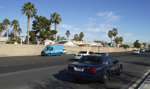
Traffic flows next to a single family home neighborhood on Eastern Avenue next to Sunset Park, looking west-northwest in Las Vegas, Nevada: digital photograph
Date
Archival Collection
Description
From the UNLV University Libraries Photographs of the Development of the Las Vegas Valley, Nevada (PH-00394). Part of the collection documents the entire 19 mile length of the north/south Eastern Avenue / Civic Center Drive alignment. This photograph was captured in the section of Eastern Avenue between Sunset and Warm Springs Roads.
Image

Walkers use a Sunset Park path along Eastern Avenue north of Warm Springs Road, looking south-southeast in Las Vegas, Nevada: digital photograph
Date
Archival Collection
Description
From the UNLV University Libraries Photographs of the Development of the Las Vegas Valley, Nevada (PH-00394). Part of the collection documents the entire 19 mile length of the north/south Eastern Avenue / Civic Center Drive alignment. This photograph was captured in the section of Eastern Avenue between Sunset and Warm Springs Roads.
Image
