Search Results
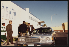
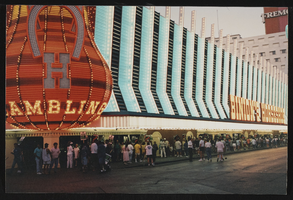
Fremont Street rally, Culinary Union, Las Vegas (Nev.), 1994 April (folder 1 of 4), image 22
Date
1994-04
Description
Arrangement note: Series I. Demonstrations, Subseries I.B. Other Demonstrations and Strikes
Image

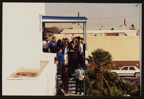
Fremont Street rally, Culinary Union, Las Vegas (Nev.), 1994 April (folder 1 of 4), image 23
Date
1994-04
Description
Arrangement note: Series I. Demonstrations, Subseries I.B. Other Demonstrations and Strikes
Image

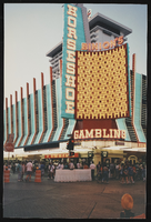
Fremont Street rally, Culinary Union, Las Vegas (Nev.), 1994 April (folder 1 of 4), image 24
Date
1994-04
Description
Arrangement note: Series I. Demonstrations, Subseries I.B. Other Demonstrations and Strikes
Image
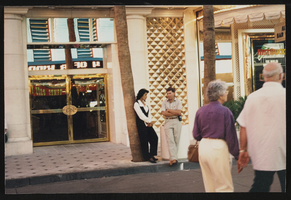
Fremont Street rally, Culinary Union, Las Vegas (Nev.), 1994 April (folder 1 of 4), image 25
Date
1994-04
Description
Arrangement note: Series I. Demonstrations, Subseries I.B. Other Demonstrations and Strikes
Image
Fremont Street rally, Culinary Union, Las Vegas (Nev.), 1994 April (folder 1 of 4), image 26
Date
1994-04
Description
Arrangement note: Series I. Demonstrations, Subseries I.B. Other Demonstrations and Strikes
Image

Fremont Street rally, Culinary Union, Las Vegas (Nev.), 1994 April (folder 1 of 4), image 27
Date
1994-04
Description
Arrangement note: Series I. Demonstrations, Subseries I.B. Other Demonstrations and Strikes
Image

Fremont Street rally, Culinary Union, Las Vegas (Nev.), 1994 April (folder 1 of 4), image 28
Date
1994-04
Description
Arrangement note: Series I. Demonstrations, Subseries I.B. Other Demonstrations and Strikes
Image
Fremont Street rally, Culinary Union, Las Vegas (Nev.), 1994 April (folder 1 of 4), image 29
Date
1994-04
Description
Arrangement note: Series I. Demonstrations, Subseries I.B. Other Demonstrations and Strikes
Image

Fremont Street rally, Culinary Union, Las Vegas (Nev.), 1994 April (folder 1 of 4), image 30
Date
1994-04
Description
Arrangement note: Series I. Demonstrations, Subseries I.B. Other Demonstrations and Strikes
Image
Fremont Street rally, Culinary Union, Las Vegas (Nev.), 1994 April (folder 1 of 4), image 31
Date
1994-04
Description
Arrangement note: Series I. Demonstrations, Subseries I.B. Other Demonstrations and Strikes
Image