Search Results
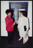
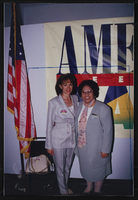
United Food and Commercial Workers (UFCW) rally at Wal-Mart, Culinary Union, Las Vegas (Nev.), 1996 May 30 (folder 1 of 5), image 30
Date
1996-05-30
Description
Arrangement note: Series I. Demonstrations, Subseries I.B. Other Demonstrations and Strikes
Image
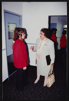
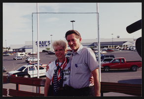
United Food and Commercial Workers (UFCW) rally at Wal-Mart, Culinary Union, Las Vegas (Nev.), 1996 May 30 (folder 1 of 5), image 31
Date
1996-05-30
Description
Arrangement note: Series I. Demonstrations, Subseries I.B. Other Demonstrations and Strikes
Image
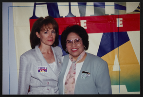
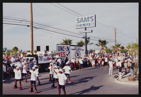
United Food and Commercial Workers (UFCW) rally at Wal-Mart, Culinary Union, Las Vegas (Nev.), 1996 May 30 (folder 1 of 5), image 32
Date
1996-05-30
Description
Arrangement note: Series I. Demonstrations, Subseries I.B. Other Demonstrations and Strikes
Image
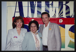
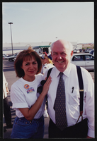
United Food and Commercial Workers (UFCW) rally at Wal-Mart, Culinary Union, Las Vegas (Nev.), 1996 May 30 (folder 1 of 5), image 33
Date
1996-05-30
Description
Arrangement note: Series I. Demonstrations, Subseries I.B. Other Demonstrations and Strikes
Image
United Food and Commercial Workers (UFCW) rally at Wal-Mart, Culinary Union, Las Vegas (Nev.), 1996 May 30 (folder 1 of 5), image 34
Date
1996-05-30
Description
Arrangement note: Series I. Demonstrations, Subseries I.B. Other Demonstrations and Strikes
Image
United Food and Commercial Workers (UFCW) rally at Wal-Mart, Culinary Union, Las Vegas (Nev.), 1996 May 30 (folder 1 of 5), image 35
Date
1996-05-30
Description
Arrangement note: Series I. Demonstrations, Subseries I.B. Other Demonstrations and Strikes
Image
United Food and Commercial Workers (UFCW) rally at Wal-Mart, Culinary Union, Las Vegas (Nev.), 1996 May 30 (folder 1 of 5), image 36
Date
1996-05-30
Description
Arrangement note: Series I. Demonstrations, Subseries I.B. Other Demonstrations and Strikes
Image
United Food and Commercial Workers (UFCW) rally at Wal-Mart, Culinary Union, Las Vegas (Nev.), 1996 May 30 (folder 1 of 5), image 37
Date
1996-05-30
Description
Arrangement note: Series I. Demonstrations, Subseries I.B. Other Demonstrations and Strikes
Image
United Food and Commercial Workers (UFCW) rally at Wal-Mart, Culinary Union, Las Vegas (Nev.), 1996 May 30 (folder 1 of 5), image 38
Date
1996-05-30
Description
Arrangement note: Series I. Demonstrations, Subseries I.B. Other Demonstrations and Strikes
Image
United Food and Commercial Workers (UFCW) rally at Wal-Mart, Culinary Union, Las Vegas (Nev.), 1996 May 30 (folder 1 of 5), image 39
Date
1996-05-30
Description
Arrangement note: Series I. Demonstrations, Subseries I.B. Other Demonstrations and Strikes
Image